Blacktail Mtn
| Site Name: | Blacktail Mtn |  Blacktail Mtn Coverage |
| Latitude: | 048 00 41.5N | 48.0115278 |
| Longitude: | 114 21 53.2W | -114.3647778 |
| Feet | Meters | |
| Ground Elevation: | 6750.0 | 2,057.4 |
| HAAT: | 2,657.5 | 810.0 |
| City: | Kalispell | |
| County: | Flathead | |
| State: | Montana |
This is not an MRA Owned Site. For space rental contact the site owner.
Do you own or manage this site? Click Here
Would you like to add a site to the Google Earth Map?? Click Here
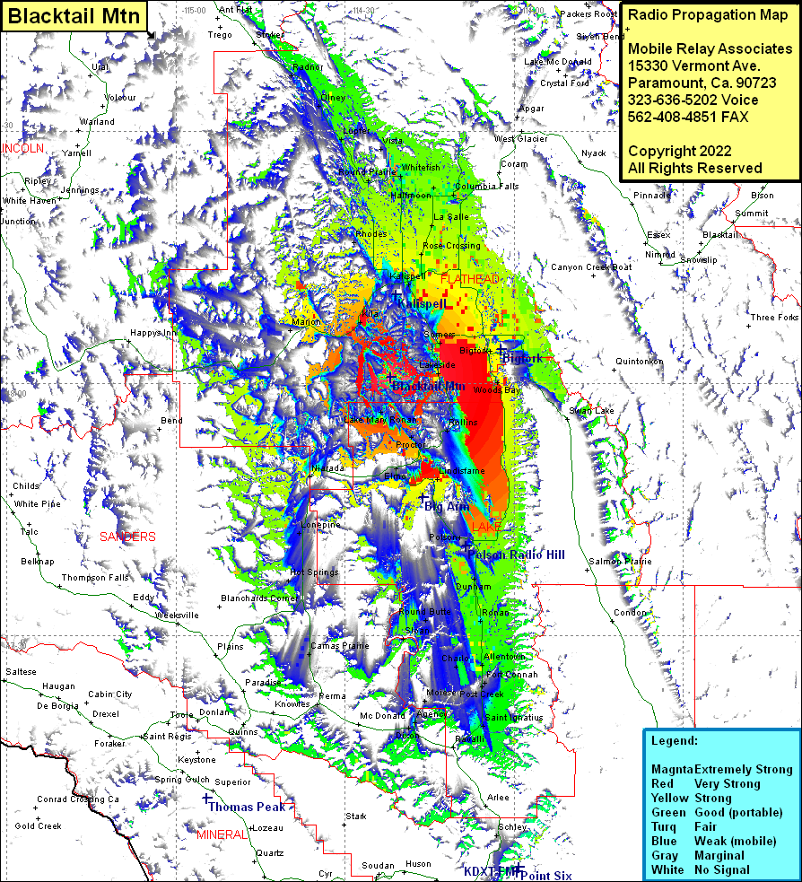
Site Coverage: Coverage of Somers, Lakeside, Kalispell, Northridge Heights, Evergreen, Rose Crossing, La Salle, Whitefish, Halfmoon, Columbia Falls, Conkelley, Apgar, Rollings, Proctor, Dayton, Elmo, Big Arm, Lindisfarne, Polson, Dunham, Pablo, Ronan, Round Butte, Sloan, Charlo, Moiese, Agency, Dixon, Ravalli, Saint Ignatius, Post Creek, Fort Connah, Allentown, Niarada, Lonepine, Hot Springs, Camas Prairie, Lake Mary Ronan, Rhodes, Kila, Marion, Round Prairie, Lupfer, Vista, Olney, Radnor
