Heaps Peak
| Site Name: | Heaps Peak | 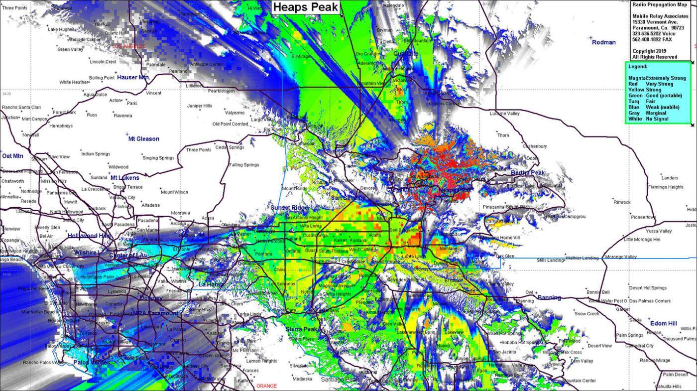 |
| Latitude: | 034 14 05.1N | 34.2347500 |
| Longitude: | 117 08 25.8W | -117.1405000 |
| | Feet | Meters |
| Ground Elevation: | 6421 | 1957.1 |
| Support Structure Height: | 90 | 27.4 |
| Height With Appurtenances: | 110 | 33.5 |
| HAAT: | 1754.4 | 534.7 |
| Antenna Height For HAAT: | 55.8 | 17 |
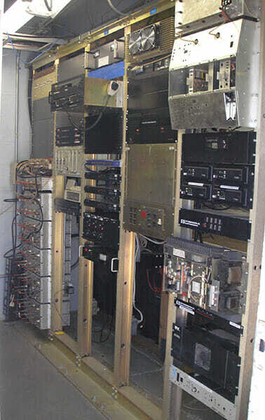
| Type of Facility: | Block Building & Tower |
| Address: | Rim of the World Hwy |
| City: | Running Springs |
| County: | San Bernardino |
| State: | California |
| Existing Callsign: | WQUF957 |
| Backup Generator: | None |
| Backup Battery: | 3000Ah |
| Temp Control: | Air Cond |
| Cable Entry: | Custom |
| Method of Cable Attachment: | Snap-In or Rod & Cushion |
| Method of Antenna Mounting: | Welded Crossarm & Stubs |
| Security: | Alarm & Cameras |
| Land Owner: | Private |
Site Coverage: This site provides coverage of the Crestline area, San Bernardino area, Lake Arrowhead, Blue Jay, Twin Peaks, Running Springs and Victorville area
