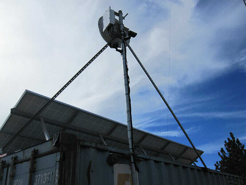
| Site Name: | Mt Gleason | 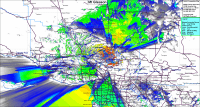 |
| Latitude: | 034 22 36.6N | 34.3768333 |
| Longitude: | 118 10 40.3W | -118.1778611 |
| | Feet | Meters |
| Ground Elevation: | 6486 | 1976.9 |
| Support Structure Height: | 30 | 9.1 |
| Height With Appurtences: | 45 | 13.7 |
| HAAT: | 2764.6 | 842.7 |
| Antenna Height For HAAT: | 32.8 | 10 |
| Type of Facility: | Cargo Container & Mast |
| Address: | Mt Gleason Road |
| City: | Rovanna |
| County: | Los Angeles |
| State: | California |
| Existing Callsign: | None |
| Backup Generator: | 5KW |
| Backup Battery: | 2000Ah Plus solar power |
| Temp Control: | Vent Fan |
| Cable Entry: | Cord Grips |
| Method of Cable Attachment: | Wire Ties |
| Method of Antenna Mounting: | Custom |
| Security: | None |
| Land Owner: | USFS |
Site Coverage: This site provides coverage of the Angeles National Forest, the San Fernando Valley and the High Desert