| Site Name: | Tejon Summit | 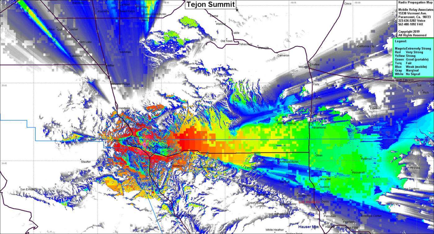 |
| Latitude: | 034 48 10.3N | 34.8028611 |
| Longitude: | 118 48 55.3W | -118.8153611 |
| Feet | Meters | |
| Ground Elevation: | 4884 | 1,488.6 |
| Support Structure Height: | 25 | 7.6 |
| Height With Appurtences: | 50 | 15.2 |
| HAAT: | 1020.3 | 311.0 |
| Antenna Height For HAAT: | 49.0 | 14.9 |
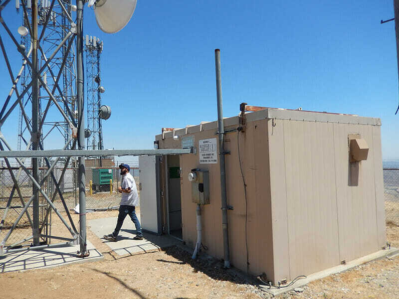
| Type of Facility: | Prefab Building & Tower |
| Address: | Gorman Post Road |
| City: | Gorman |
| County: | Los Angeles |
| State: | California |
| Existing Callsign: | WQYN485 |
| Backup Generator: | None |
| Backup Battery: | 525Ah |
| Temp Control: | Air Cond |
| Cable Entry: | Cord Grips |
| Method of Cable Attachment: | Strut & Snap-In |
| Method of Antenna Mounting: | Custom |
| Security: | Alarm & Cameras |
| Land Owner: | Private |
Site Coverage: This site provides coverage into Gorman, Frazier Park, the western high desert, Interstate 5 from 20 miles south of Gorman to 20 miles north of Gorman
