Clarkston
| Site Name: | Clarkston |  Clarkston Coverage |
| Latitude: | 041 53 43.0N | 41.8952778 |
| Longitude: | 112 04 45.8W | -112.0793889 |
| Feet | Meters | |
| Ground Elevation: | 5988.0 | 1825.1 |
| HAAT: | 1152.9 | 351.4 |
| City: | Plymouth | |
| County: | Box Elder | |
| State: | Utah |
This is not an MRA Owned Site. For space rental contact the site owner.
Do you own or manage this site? Click Here
Would you like to add a site to the Google Earth Map?? Click Here
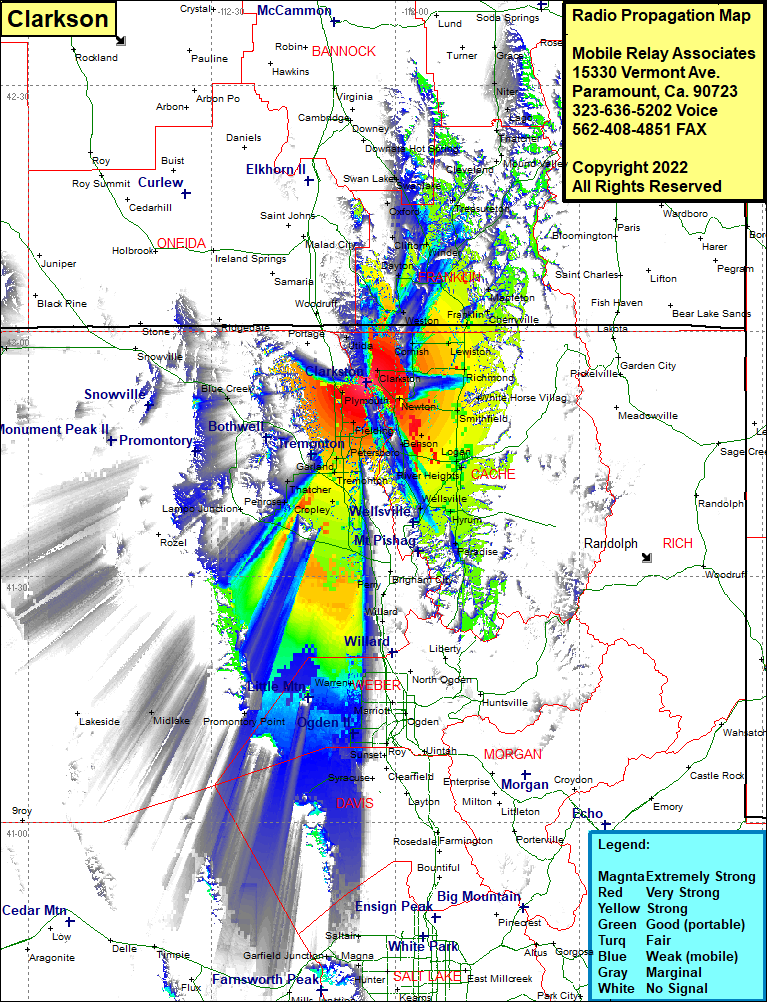
Site Coverage: Coverage of Clarkston, Trenton, Morton, Cornish, Anderson, Weston, Fairview, Lewiston, Dayton, Clifton, Coulam, Oxford, Swanlake, Banida, Riverdale, Treasureton, Mink Creek, Thatcher, Niter, Bench, Lago, Cove, Richmond, Cherryville, Mapleton, Amalga, Smithfield, White House Village, Cardon, Hyde Park, North Logan, Greenville, Logan, River Heights, Providence, Millville, College Ward, Greens Corner, Hyrum, Mount Sterling, Paradise, Avon, Brigham City, Perry, Willard, Corinne, Honeyville, Madsen, Deweyville, Collinston, Petersboro, Benson, Wheelon, Ballard Junction, Fielding, Bear River, Bradford, Cropley, Elwood, Riverside, Howell, Blue Creek, Rozel, Promontory, Penrose, Cropley, Bradford, Collinston, Garland, Tremonton, Elwood, Bear River, Warren, West Warren, Taylor, Kanesville, Kingsville Junction, West Point
