Fort Earl
| Site Name: | Fort Earl |  Fort Earl Coverage |
| Latitude: | 033 53 40.7N | 33.8946389 |
| Longitude: | 085 32 45.7W | -85.5460278 |
| Feet | Meters | |
| Ground Elevation: | 1362.0 | 415.1 |
| HAAT: | 491.2 | 149.7 |
| City: | Vigo | |
| County: | Calhoun | |
| State: | Alabama |
This is not an MRA Owned Site. For space rental contact the site owner.
Do you own or manage this site? Click Here
Would you like to add a site to the Google Earth Map?? Click Here
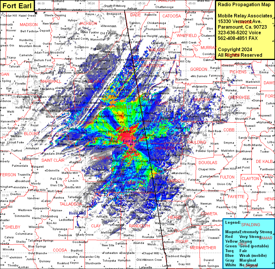
Site Coverage: Coverage of Cherokee County, potions of Chattooga & Floyd Counties, Polk County, most of Haralson County, part of Paulding County, about half of Carroll County, part of Heard, Troup & Coweta Counties. Parts of Randolph & Clay Counties, most of Calhoun & etowah Counties, small part of Saint Clair & Blount Counties, southeastern Marshall & Jackson Counties, most of De Kalb County
