Cunningham Mtn
| Site Name: | Cunningham Mtn | 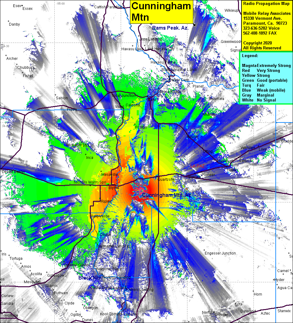 Cunningham Mtn Coverage |
| Latitude: | 033 34 10.5N | 33.5695833 |
| Longitude: | 114 20 59.4W | -114.3498333 |
| Feet | Meters | |
| Ground Elevation: | 3,274.9 | 998.2 |
| HAAT: | 2,223.4 | 677.7 |
| City: | Quartsite | |
| County: | La Paz | |
| State: | Arizona |
This is not an MRA Owned Site. For space rental contact the site owner.
Do you own or manage this site? Click Here
Would you like to add a site to the Google Earth Map?? Click Here
Site Coverage: Coverage of Blythe, Mesaville, Ripley, Palo Verde, Cibola, Paymaster Valley, Nicholls Warm Springs, Inoa, Cox, Calzona, Postan, Crossroads, Quartsite