Diamond Top Mtn
| Site Name: | Diamond Top Mtn | 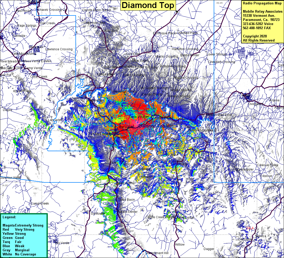 Diamond Top Mtn Coverage |
| Latitude: | 034 17 15.4N | 34.2876111 |
| Longitude: | 111 11 34.3W | -111.1928611 |
| Feet | Meters | |
| Ground Elevation: | 6363.0 | 1939.4 |
| HAAT: | 1028.2 | 313.4 |
| City: | Tonta Village | |
| County: | Gila | |
| State: | Arizona |
This is not an MRA Owned Site. For space rental contact the site owner.
Do you own or manage this site? Click Here
Would you like to add a site to the Google Earth Map?? Click Here
Site Coverage: Coverage of Payson, Star Valley, Tonto Village, Kohls Ranch, Christopher Creek, Ft McDonald, Washington Park, Spurlock, Mountain Meadow, Jakes Corner, Young, Pine, Strawberry