Gray Mtn
| Site Name: | Gray Mtn | 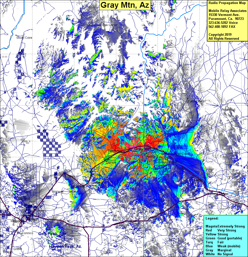 Gray Mtn Coverage |
| Latitude: | 035 33 13.0N | 35.5536111 |
| Longitude: | 113 23 43.0W | -113.3952778 |
| Feet | Meters | |
| Ground Elevation: | 5456.0 | 1663.0 |
| HAAT: | 591.2 | 180.2 |
| City: | Peach Springs | |
| County: | Mojave | |
| State: | Arizona |
This is not an MRA Owned Site. For space rental contact the site owner.
Do you own or manage this site? Click Here
Would you like to add a site to the Google Earth Map?? Click Here
Site Coverage: Coverage of Truxton, Beach Springs, Nelson, Crozier, Valentine, Peach Springs, Grand Canyon Caver, Yampai, Pica, Audley, Robbers Roost, Frazier Wells, Antares, Walapai, Berry