Mingus Mtn
| Site Name: | Mingus Mtn | 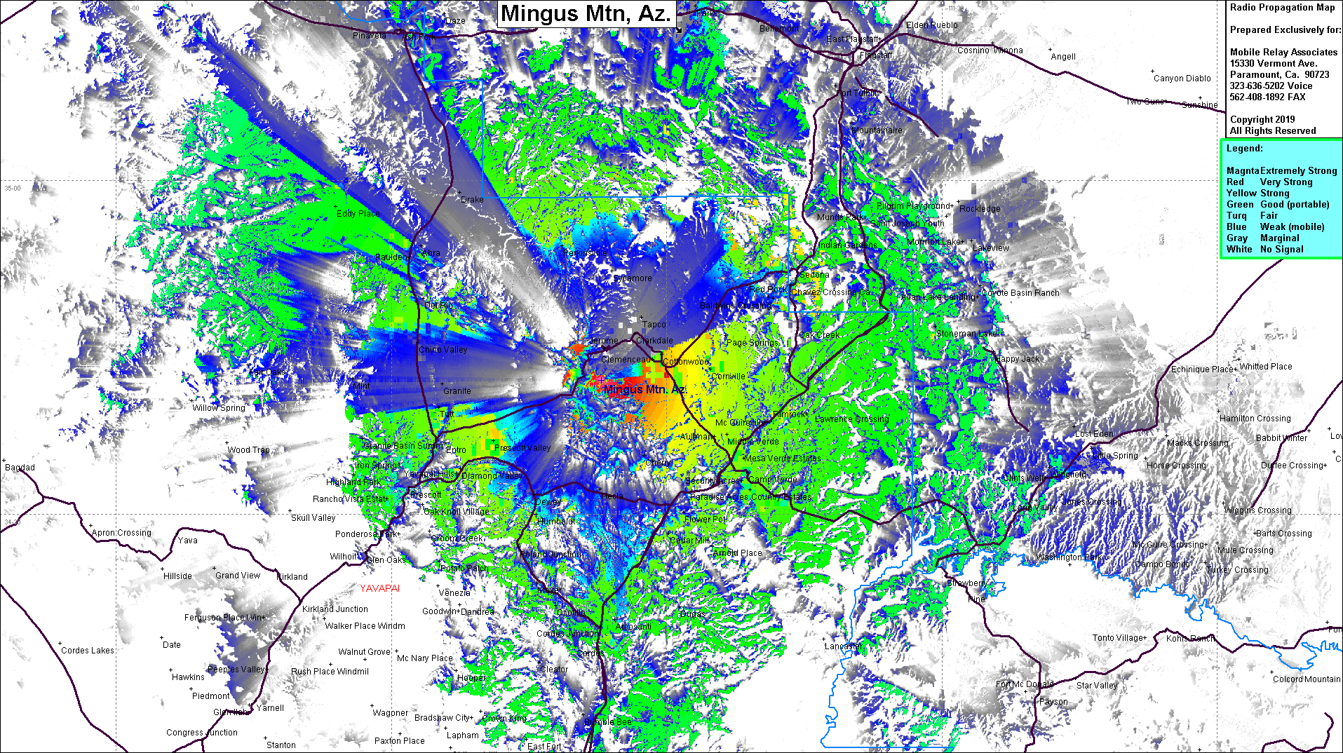 Mingus Mtn Coverage |
| Latitude: | 034 42 03.8N | 34.7010556 |
| Longitude: | 112 07 05.7W | -112.1182500 |
| Feet | Meters | |
| Ground Elevation: | 7,831.4 | 2,387.0 |
| HAAT: | 2,699.5 | 822.8 |
| City: | Jerome | |
| County: | Yavapai | |
| State: | Arizona |
This is not an MRA Owned Site. For space rental contact the site owner.
Do you own or manage this site? Click Here
Would you like to add a site to the Google Earth Map?? Click Here
Site Coverage: Coverage of Cottonwood, Cornville, Clarkdale, Jerome, Camp Verde, Jordan Meadows, Lawrence Crossing, Sedona, Page Springs, Cordes Jct, Humbolt