Shonto Marsh
| Site Name: | Shonto Marsh | 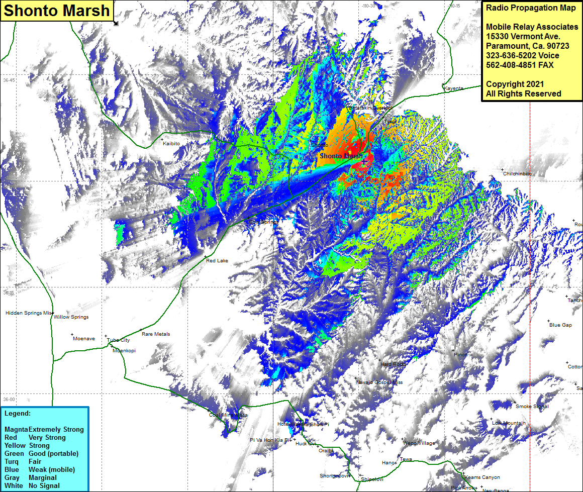 Shonto Marsh Coverage |
| Latitude: | 036 32 42.6N | 36.5451667 |
| Longitude: | 110 29 40.5W | -110.4945833 |
| Feet | Meters | |
| Ground Elevation: | 7335.0 | 2,235.7 |
| HAAT: | 647.4 | 197.3 |
| City: | Tsegi | |
| County: | Navajo | |
| State: | Arizona |
This is not an MRA Owned Site. For space rental contact the site owner.
Do you own or manage this site? Click Here
Would you like to add a site to the Google Earth Map?? Click Here
Site Coverage: Coverage of Shonto, Betatakin Overlook, Tsegi, Cow Springs, Pinon, Hard Rocks, Navajo Gospel Miss, Chilchinbito, US Highway 160 from 8.5 miles east of the Navajo County line to one mile east of Tsegi