Canon City
| Site Name: | Canon City | 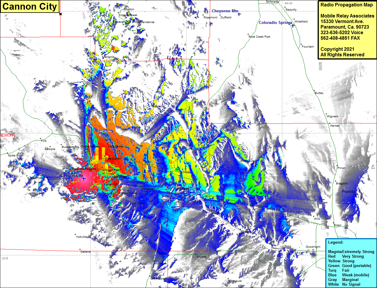 Canon City Coverage |
| Latitude: | 038 24 24.0N | 38.4066667 |
| Longitude: | 105 16 03.5W | -105.2676389 |
| Feet | Meters | |
| Ground Elevation: | 5759.0 | 1755.3 |
| HAAT: | -507.6 | -154.7 |
| City: | Canon City | |
| County: | Fremont | |
| State: | Colorado |
This is not an MRA Owned Site. For space rental contact the site owner.
Do you own or manage this site? Click Here
Would you like to add a site to the Google Earth Map?? Click Here
Site Coverage: Coverage of Canon City, Lincoln Park, Florence, Coal Creek, Portland, Penrose, Adelaide, Park Center, Hobson, Swallows, Bronquist, Siloam, Sikes, Wetmore