Lindon
| Site Name: | Lindon | 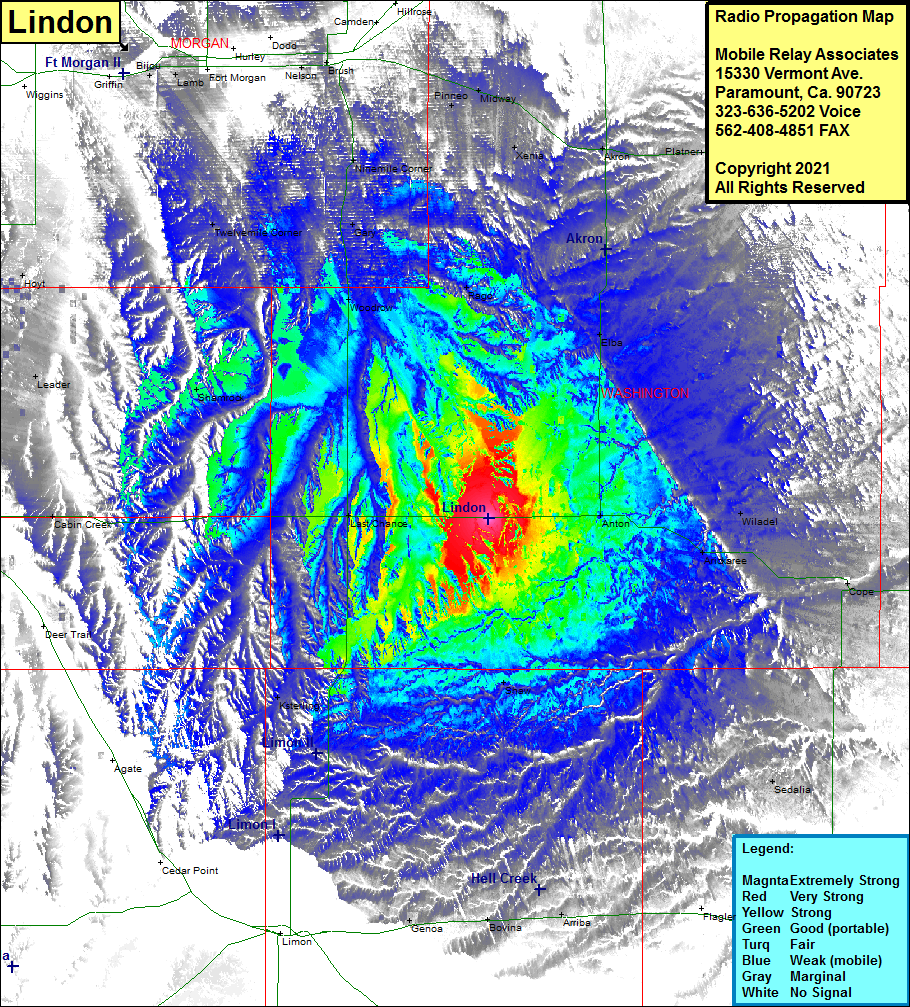 Lindon Coverage |
| Latitude: | 039 44 17.6N | 39.7382222 |
| Longitude: | 103 22 58.3W | -103.3828611 |
| Feet | Meters | |
| Ground Elevation: | 4977.0 | 1517.0 |
| HAAT: | 187.8 | 57.2 |
| City: | Lindon | |
| County: | Washington | |
| State: | Colorado |
This is not an MRA Owned Site. For space rental contact the site owner.
Do you own or manage this site? Click Here
Would you like to add a site to the Google Earth Map?? Click Here
Site Coverage: Coverage of Lindon, Anton, Wiladel, Arickaree, Cope, Shaw, Sedalia, Seibert, Arriba, Bovina, Genoa, Ksterling, Peoria, Byers, Last Chance, Cabin Creek, Shamrock, Leader, Hoyt, Twelvemile Corner, Woodrow, Gary, Ninemile Corner, Rago, Elba, Pinneo, Midway, Xenia, Akron, Platner, Otis, Abarr