Monument Peak
| Site Name: | Monument Peak | 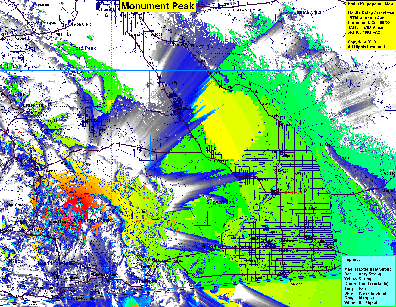 Monument Peak Coverage |
| Latitude: | 039 43 09.9N | 39.7194167 |
| Longitude: | 107 54 59.3W | -107.9164722 |
| Feet | Meters | |
| Ground Elevation: | 9208.0 | 2806.6 |
| HAAT: | 1292.4 | 393.9 |
| City: | Rifle | |
| County: | Garfield | |
| State: | Colorado |
This is not an MRA Owned Site. For space rental contact the site owner.
Do you own or manage this site? Click Here
Would you like to add a site to the Google Earth Map?? Click Here
Site Coverage: Coverage of Meeker, Rifle, Antlers, Silt, New Castle, Chacra, portions of Colorado Highway 13 from Rifle to Meeker