Lookout Mtn
| Site Name: | Lookout Mtn | 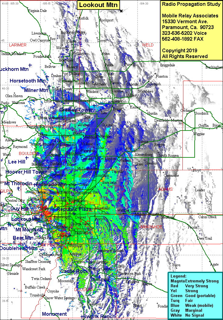 Lookout Mtn Coverage |
| Latitude: | 039 43 59.2N | 39.7331111 |
| Longitude: | 105 15 15.1W | -105.2541944 |
| Feet | Meters | |
| Ground Elevation: | 7,297.3 | 2,224.2 |
| HAAT: | 764.6 | 233.1 |
| City: | Golden | |
| County: | Jefferson | |
| State: | Colorado |
This is not an MRA Owned Site. For space rental contact the site owner.
Do you own or manage this site? Click Here
Would you like to add a site to the Google Earth Map?? Click Here
Site Coverage: Coverage of Golden, Denver, Arvada, south to Castle Rock, north to Broomfield, east to Watkins