Mt Werner
| Site Name: | Mt Werner | 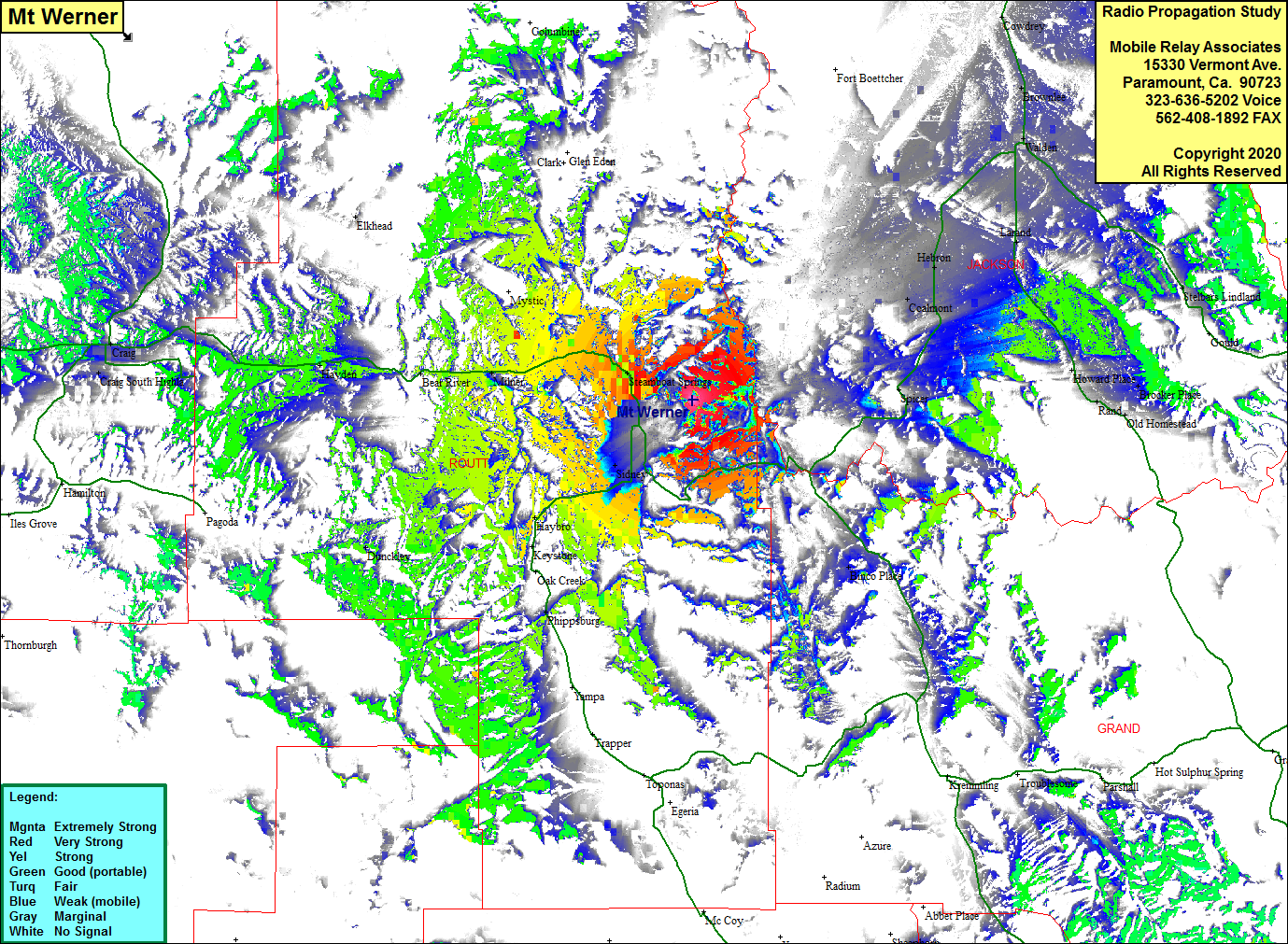 Mt Werner Coverage |
| Latitude: | 040 27 22.4N | 40.4562222 |
| Longitude: | 106 44 25.7W | -106.7404722 |
| Feet | Meters | |
| Ground Elevation: | 10567.6 | 3221.0 |
| HAAT: | 1937.0 | 590.4 |
| City: | Steamboat Springs | |
| County: | Routt | |
| State: | Colorado |
This is not an MRA Owned Site. For space rental contact the site owner.
Do you own or manage this site? Click Here
Would you like to add a site to the Google Earth Map?? Click Here
Site Coverage: Coverage of Steamboat Springs, Sidney, Haybro, Phippsburg, Binco Place, Milner, Mc Gregor, Bear River, Mount Harris, Hayden, Dunckley