Sand Creek
| Site Name: | Sand Creek | 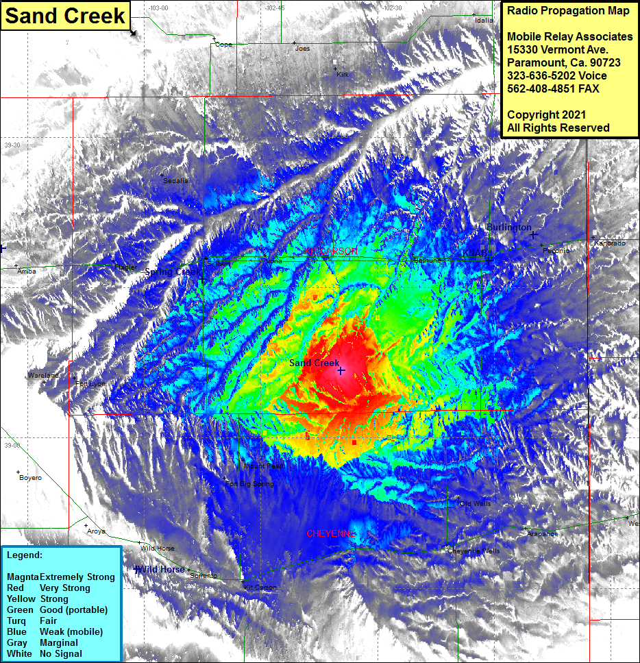 Sand Creek Coverage |
| Latitude: | 039 06 45.0N | 39.1125000 |
| Longitude: | 102 34 41.9W | -102.5783056 |
| Feet | Meters | |
| Ground Elevation: | 4563.0 | 1390.8 |
| HAAT: | 199.0 | 60.6 |
| City: | Stratton | |
| County: | Kit Carson | |
| State: | Colorado |
This is not an MRA Owned Site. For space rental contact the site owner.
Do you own or manage this site? Click Here
Would you like to add a site to the Google Earth Map?? Click Here
Site Coverage: Coverage of Kirk, Idalia, Hale, Berthune, Peconic, Kanorado, Ruleton, Oil Wells, Cheyenne Wells, Arapahoe, Weskan, Kit Carson, Sorrento, Fort Big Spring, Mount Pearl, Fort Lyon, Wareland, Arriba, Flagler, Seibert, Sadalia, Vona