Vail IV
| Site Name: | Vail IV | 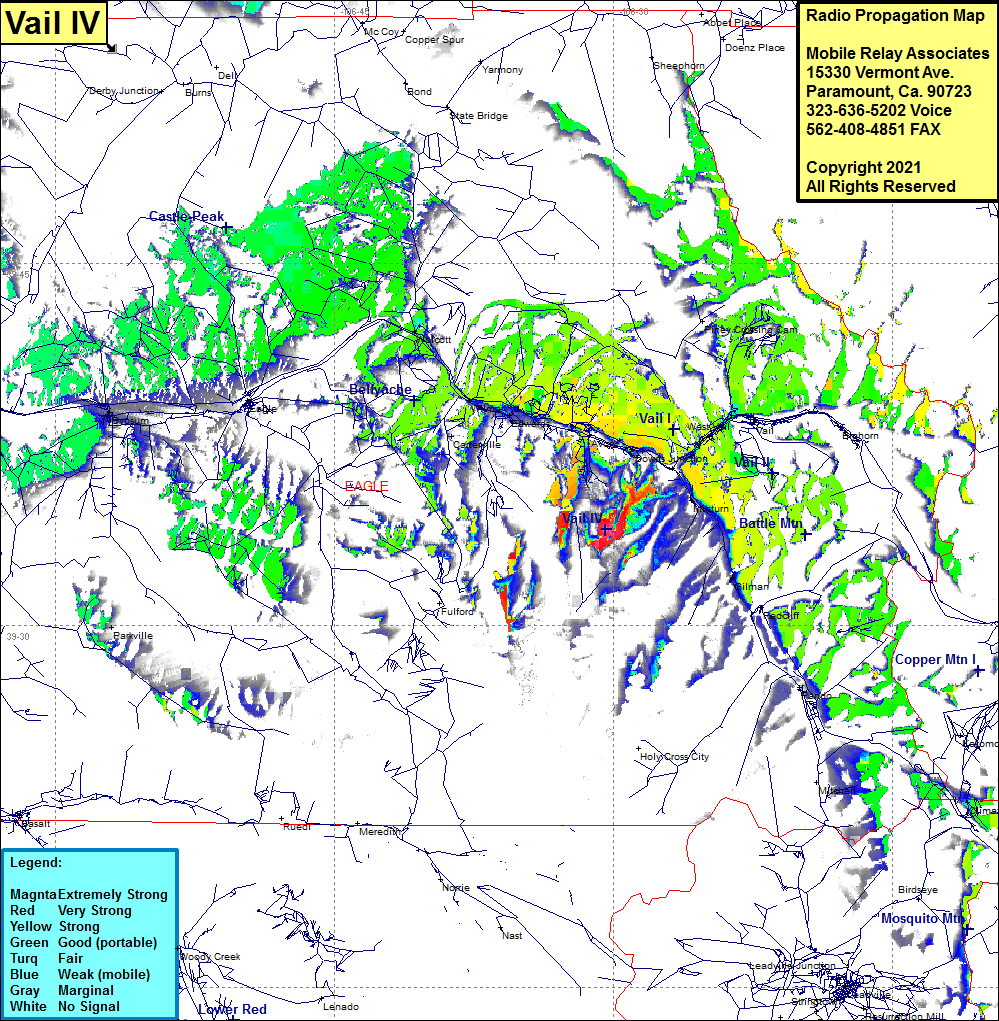 Vail IV Coverage |
| Latitude: | 039 33 58.3N | 39.5661944 |
| Longitude: | 106 30 25.6W | -106.5071111 |
| Feet | Meters | |
| Ground Elevation: | 11421.0 | 3481.1 |
| HAAT: | 1695.6 | 516.8 |
| City: | Vail | |
| County: | Eagle | |
| State: | Colorado |
This is not an MRA Owned Site. For space rental contact the site owner.
Do you own or manage this site? Click Here
Would you like to add a site to the Google Earth Map?? Click Here
Site Coverage: Coverage of West Vail, Eagles Nest, Avon, Edwards, Wolcott, Gypsum