Snowbank Mtn
| Site Name: | Snowbank Mtn |  Snowbank Mtn Coverage |
| Latitude: | 044 26 34.9N | 44.4430278 |
| Longitude: | 116 08 09.0W | -116.1358333 |
| Feet | Meters | |
| Ground Elevation: | 8325.0 | 2,537.5 |
| HAAT: | 2,798.9 | 853.1 |
| City: | Belvidere | |
| County: | Valley | |
| State: | Idaho |
This is not an MRA Owned Site. For space rental contact the site owner.
Do you own or manage this site? Click Here
Would you like to add a site to the Google Earth Map?? Click Here
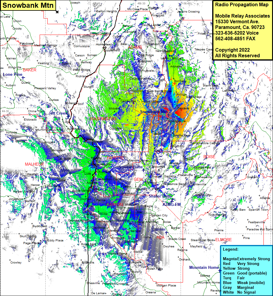
Site Coverage: Coverage of Grangeville, Caberton, Belvidere, Cascade, Arling, Eagle Nest, Donnely, Old Fort, Archabal, McCall, Lardo, Beer Bottle Crossing, Alpha, Smiths Ferry, Big Eddy, Ola, Gross, Brownlee, Sweet, French Corner, Fruitland, Fort Wilson, New Plymouth, Little Rock, Cairo, Luse, Gayway, Ingard, Payette, Wood, Crystal, Feltham, Rebecca, Weiser, Eaton, Ontario Heights, Washoe, Ontario Heights, Ramey, Buckingham, Ingard, Wood, Fruitvale, Starkey, Lardo, McCall, Archabal, Old Fort, Donnelly, Warm Lake
