Greycliff
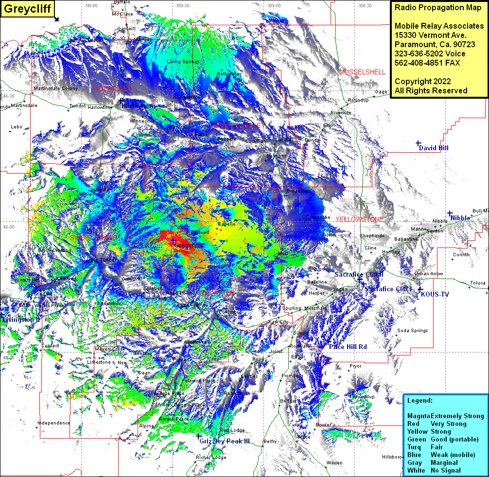
| Site Name: | Greycliff |  Greycliff Coverage |
| Latitude: | 045 55 39.0N | 45.9275000 |
| Longitude: | 109 29 46.1W | -109.4961389 |
| Feet | Meters | |
| Ground Elevation: | 5334.0 | 1,625.8 |
| HAAT: | 636.4 | 194.0 |
| City: | Columbus | |
| County: | Stillwater | |
| State: | Montana |
This is not an MRA Owned Site. For space rental contact the site owner.
Do you own or manage this site? Click Here
Would you like to add a site to the Google Earth Map?? Click Here
Site Coverage: Coverage of Busteed, Rapelje, Acton, Comanche, Broadview, Shepherd, Belmont, Lavina, Slayton Junction, Cushman, Ryegate, Barber, Shawmut, Hedgesville, Franklin, Rothiemay, Bundy, Elso, Springtime, Columbus, Molt, Mossmain, Yegan, Huntley, Hirsch, Indian Arrow, Boyd, Selmes, Roberts, Fox, Red Lodge, Luther, Simpkins Place, Alex, Boggio Place, Roscoe, Peterson Place, Fishtail, Absarokee, Sourdouth, Big Timber, Greycliff, Quebec, Reed Point, Camey, Hunters Hot Spring, Sprindale, Woods Place, Kharlowton, McLeod, Urback Place, Dahl Place, Minnie Rahn Place, Livingston, Melville, Winnecook, Shawmut, US Highway 191 from Big TImber to Harlowton, US Highway 12 from Harlowton to several miles east of Lavina, Montana Highway 3 from Lavina heading south about 75% of the way to Billings, about 60% of Interstate 90 from Livingston to Newton
