Lewistown
| Site Name: | Lewistown |  Lewistown Coverage |
| Latitude: | 047 04 16.3N | 47.0711944 |
| Longitude: | 109 24 33.9W | -109.4094167 |
| Feet | Meters | |
| Ground Elevation: | 3964.0 | 1,208.2 |
| HAAT: | -330.7 | -100.8 |
| City: | Lewistown | |
| County: | Fergus | |
| State: | Montana |
This is not an MRA Owned Site. For space rental contact the site owner.
Do you own or manage this site? Click Here
Would you like to add a site to the Google Earth Map?? Click Here
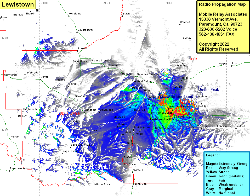
Site Coverage: Coverage of Brooks, New Year, Maiden, Hilger, Moulton, Lewiston Junction, Heath, Piper, Glengarry, Cottonwood, Eddies Corner, Moore, Hauck, Hobson, Moccasin, Utica, Lehigh, Scholtztown, McClave, Buffalo, Sipple, Roy-Winifred Junction, West Lewistown, Baxter, Spring Creek Junction, Ross Fork, Amherst, Ware, Danvers, Benchland, Windham, Deerfield
