Shelby I
| Site Name: | Shelby I |  Shelby I Coverage |
| Latitude: | 048 28 53.1N | 48.4814167 |
| Longitude: | 111 53 05.1W | -111.8847500 |
| Feet | Meters | |
| Ground Elevation: | 3461.0 | 1,054.9 |
| HAAT: | 132.1 | 40.2 |
| City: | Shelby | |
| County: | Toole | |
| State: | Montana |
This is not an MRA Owned Site. For space rental contact the site owner.
Do you own or manage this site? Click Here
Would you like to add a site to the Google Earth Map?? Click Here
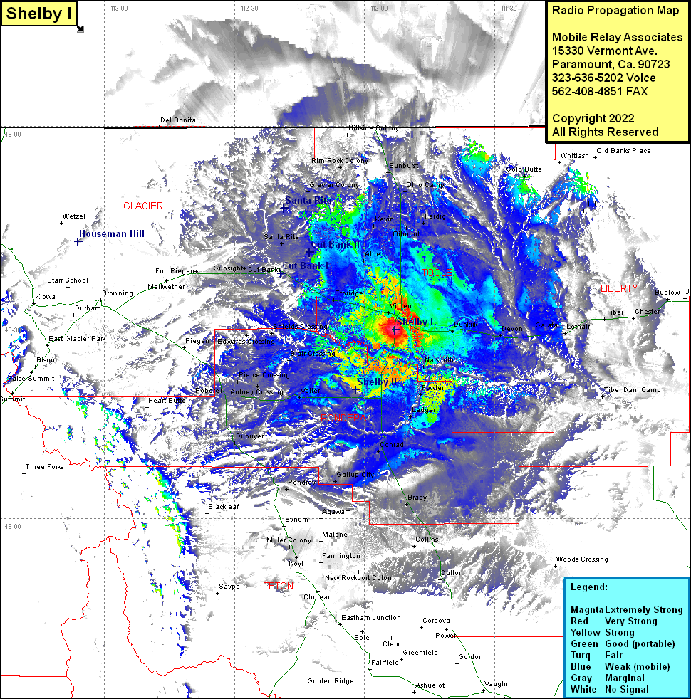
Site Coverage: Coverage of Shelby, Oilmont, Ohio Camp, Dunkirk, Galata, Gold Butte, Tiber, Buelow, Hill, Dutton, Collins, Brady, Ledger, Fowler, Naismith, Devon, Woods Crossing, Williams, Manson, Conrad, Blair Crossing, Valier, Shields Crossing, Robere, Pierce Crossing, Aubrey Crossing, Kuka Crossing, Valier, Williams, Manson, Cenrad, Dupuyer, Pendroy, Gallup City, Miller Colony, Farmington, Truchot Hill, Virden, Etheridge, Aloe, Kevin, Cut Bank, Santa Rita, Gunsight, Sundance, Glacier Colony, Rim Rock Colony, Sunburst, Feidig
