Simms
| Site Name: | Simms |  Simms Coverage |
| Latitude: | 047 22 11.4N | 47.3698333 |
| Longitude: | 112 04 30.4W | -112.0751111 |
| Feet | Meters | |
| Ground Elevation: | 4693.0 | 1,430.4 |
| HAAT: | 598.5 | 182.4 |
| City: | Riebeling | |
| County: | Lewis and Clark | |
| State: | Montana |
This is not an MRA Owned Site. For space rental contact the site owner.
Do you own or manage this site? Click Here
Would you like to add a site to the Google Earth Map?? Click Here
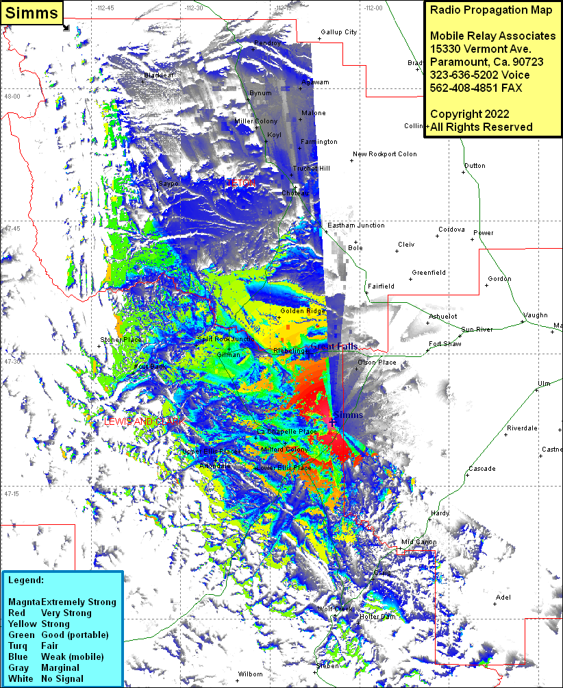
Site Coverage: Coverage of Olson Place, Lowry, Simms, Ashuelot, Craig, Holter Dam, Milford Colony, LaChapelle Place, Upper Ellis Place, Artondale, Lower Ellis Place, Riebeling, Golden Ridge, Augusta, Gilman, Split Rock Junction, Great Falls, Golden Ridge, Choteau Junction, Choteau, Truchot Hill, Farmington, Koyl, Miller Colony, Malone, Bynum, Agawam
