Whitehall
| Site Name: | Whitehall |  Whitehall Coverage |
| Latitude: | 045 55 26.1N | 45.9239167 |
| Longitude: | 112 01 22.1W | -112.0228056 |
| Feet | Meters | |
| Ground Elevation: | 6558.0 | 1,998.9 |
| HAAT: | 1,433.7 | 437.0 |
| City: | Whitehall | |
| County: | Jefferson | |
| State: | Montana |
This is not an MRA Owned Site. For space rental contact the site owner.
Do you own or manage this site? Click Here
Would you like to add a site to the Google Earth Map?? Click Here
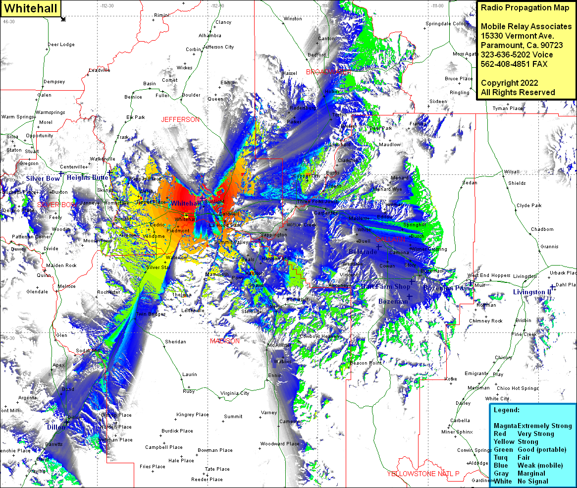
Site Coverage: Coverage of Radersburg, Parker, Toston, Brewer, Lombard, Clarkston, Eustis, Copper City, Trident, Menard, Holker, Bedford, Canton, Diamond City, Queen, Sunlight, Cardwell, La Hood Park, Summit Valley, Beals, Sappington, Willow Creek, Harrison Mill, Harrison, Shaws, Pony, Sterling, Norris, Gallatin, Gateway, Balmont, Adkins, Anceney, Arnold, Westlake, Amsterdam, Bozeman, Catros, Bisel, Story, Camona, Wisner Crossing, Busch, Springhill, Belgrade, Cowan, Kems, Greenwood, West Gallatin, Hotland, Buell, White, Manhattan, Logan, Carpenter, Three Forks Junction, Edilou, Hillman, Macless, Cowboys Heaven, McAllister, Watkins, Ennis, Beacon Point, Cameron, Tippet Place, Pipestone, Pipestone Hot Springs, Whitehall, Piedmont, Renova, Cedric, Grace, Vendome, Waterloo, Silver Star, Twin Bridges, Apex, Bond, Dillon, Barretts, Bishop Place, Holden Place, Guntner Place, Homestake, Welch, Pappas Place, Janney, Newcomb
