Argenta Rim West
| Site Name: | Argenta Rim West | 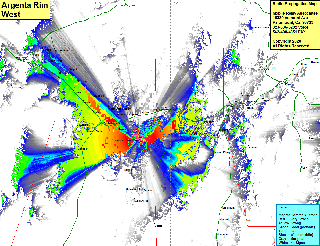 Argenta Rim West Coverage |
| Latitude: | 040 33 41.1N | 40.5614167 |
| Longitude: | 116 41 43.9W | -116.6955278 |
| Feet | Meters | |
| Ground Elevation: | 6154.0 | 1875.7 |
| HAAT: | 768.9 | 234.4 |
| City: | Argenta | |
| County: | Lander | |
| State: | Nevada |
This is not an MRA Owned Site. For space rental contact the site owner.
Do you own or manage this site? Click Here
Would you like to add a site to the Google Earth Map?? Click Here
Site Coverage: Coverage of areas of the northern portions of Landers and Eureka counties, Rosny, Battle Mountain, Copper Basin, Dewitt Mill, Piue, Mote, Russells, Valmy, Ellison, Knight, Herrin, Iron Point, Red House, Comus, Preble, Galena, Bannock, Jenkins, Kampos, Mosel, Rixies, Dunphy, Beowave, Harney, Cluro, Harney, Gerald, Primeaux, Thomas Place