Booker Mtn
| Site Name: | Booker Mtn | 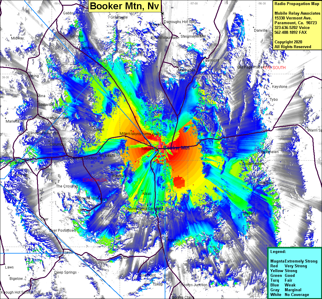 Booker Mtn Coverage |
| Latitude: | 038 05 42.3N | 38.0950833 |
| Longitude: | 117 11 14.7W | -117.1874167 |
| Feet | Meters | |
| Ground Elevation: | 6843.8 | 2086.0 |
| HAAT: | 1073.5 | 327.2 |
| City: | Tonopah | |
| County: | Nye | |
| State: | Nevada |
This is not an MRA Owned Site. For space rental contact the site owner.
Do you own or manage this site? Click Here
Would you like to add a site to the Google Earth Map?? Click Here
Site Coverage: Coverage of Tonopah, Millers Montezuma Wells, Alkali, Weepah, Montezuma, Gemfield, Silver Peak, Mc Leans, Coaldale Jct, Columbus, Sodaville, Belmont, Carvers, Goldyke