Chavez
| Site Name: | Chavez | 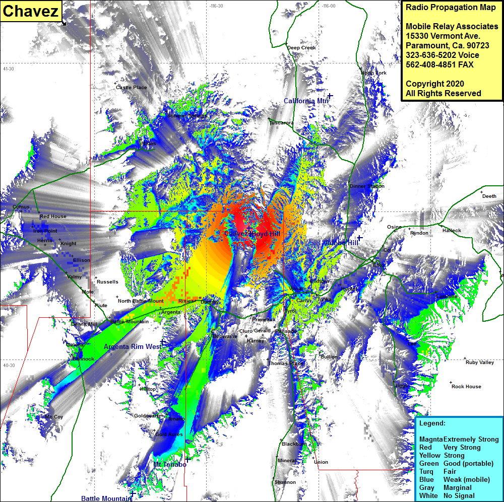 Chavez Coverage |
| Latitude: | 040 56 33.9N | 40.9427500 |
| Longitude: | 116 18 33.9W | -116.3094167 |
| Feet | Meters | |
| Ground Elevation: | 7289.0 | 2221.7 |
| HAAT: | 1609.2 | 490.5 |
| City: | Dunphy | |
| County: | Eureka | |
| State: | Nevada |
This is not an MRA Owned Site. For space rental contact the site owner.
Do you own or manage this site? Click Here
Would you like to add a site to the Google Earth Map?? Click Here
Site Coverage: Coverage of areas of the northern portions of Landers and Eureka counties, the southwest portion of Elko County, Bannock, Battle Mountain, Rosny, Argenta, Mose, Rixies, Kampos, Mote, Valmy, Ellison, Knight, Red House, Comus, Herrin, Iron Point, Elkhorn, Carlin, Vivian, Moleen, Hunter, Bullion, Dinner Station, Tuscarora, Tyrol, Lamoille, Lee, Jiggs