Floka Mountain
| Site Name: | Floka Mountain | 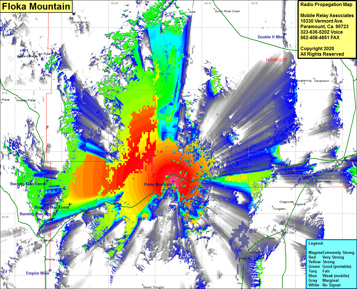 Floka Mountain Coverage |
| Latitude: | 040 52 47.6N | 40.8798889 |
| Longitude: | 118 39 12.1W | -118.6533611 |
| Feet | Meters | |
| Ground Elevation: | 5379.0 | 1639.5 |
| HAAT: | 825.7 | 251.7 |
| City: | Jungo | |
| County: | Humboldt | |
| State: | Nevada |
This is not an MRA Owned Site. For space rental contact the site owner.
Do you own or manage this site? Click Here
Would you like to add a site to the Google Earth Map?? Click Here
Site Coverage: Coverage of the southwestern portion of Humboldt County, Nevada Highway 49 from Trego in the west to Winnemucca in the east, Rose Creek, Raglan, Pronto, Jungo, Humboldt City, Humboldt, Poker Brown Crossing, Tungsten, Cosgrove, Scossa, Rye Patch, Trego