Fox Mountain
| Site Name: | Fox Mountain | 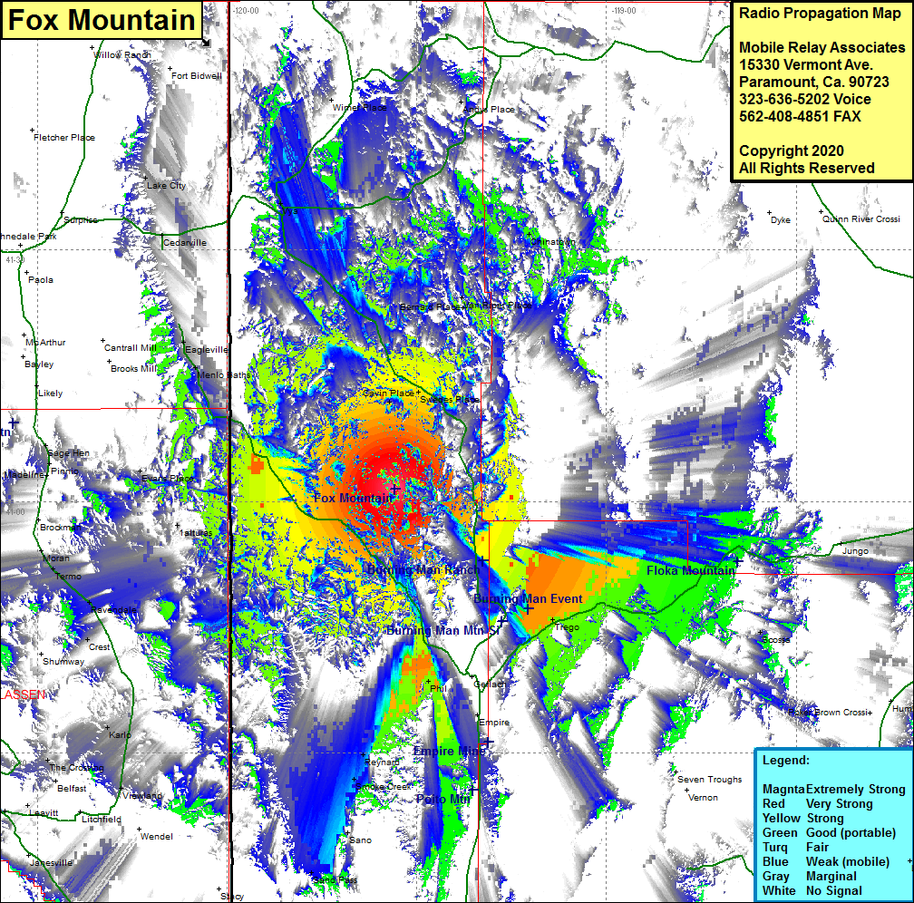 Fox Mountain Coverage |
| Latitude: | 041 01 30.4N | 41.0251111 |
| Longitude: | 119 33 30.7W | -119.5585278 |
| Feet | Meters | |
| Ground Elevation: | 8175.0 | 2491.7 |
| HAAT: | 2257.2 | 688.0 |
| City: | Gerlach | |
| County: | Washoe | |
| State: | Nevada |
This is not an MRA Owned Site. For space rental contact the site owner.
Do you own or manage this site? Click Here
Would you like to add a site to the Google Earth Map?? Click Here
Site Coverage: Coverage of the northern portion of Washoe County, Cavin Place, Swedes Place, Van Riper Place, Trego, Phil, Eagleville, Menlo Baths, Nevada Highway 447 from Gerlach north to Eagleville, Washoe County Road 34 from north of the Burning Man Event Site to Vya, Cedarville, Phil, Reynard, Smoke Creek, Sano, Trego, Scossa, Jungo