Montezuma
| Site Name: | Montezuma | 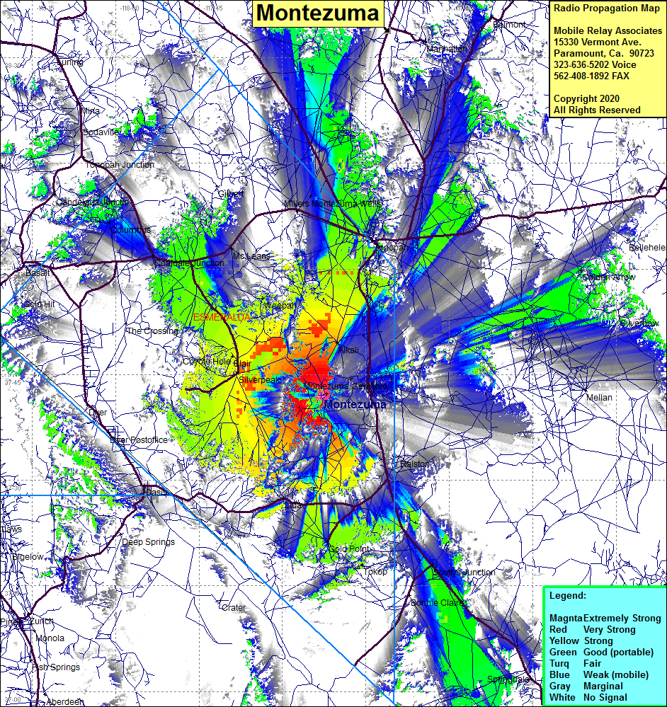 Montezuma Coverage |
| Latitude: | 037 42 02.8N | 37.7007778 |
| Longitude: | 117 23 02.3W | -117.3839722 |
| Feet | Meters | |
| Ground Elevation: | 7798.6 | 2377.0 |
| HAAT: | 2024.4 | 617.0 |
| City: | Goldfield | |
| County: | Esmeralda | |
| State: | Nevada |
This is not an MRA Owned Site. For space rental contact the site owner.
Do you own or manage this site? Click Here
Would you like to add a site to the Google Earth Map?? Click Here
Site Coverage: Coverage of Montezuma, Florence Hill, Alkali, Silverpeak, Blair, Gemfield, Ralston, Montezuma Wells, Weepah, McLeans, Gold Point, Lida, Golden Arrow, Oasis, Coaldale Junction