New York Peak
| Site Name: | New York Peak |  New York Peak Coverage |
| Latitude: | 041 35 09.6N | 41.5860000 |
| Longitude: | 118 45 44.5W | -118.7623611 |
| Feet | Meters | |
| Ground Elevation: | 7893.0 | 2405.8 |
| HAAT: | 2350.4 | 716.4 |
| City: | Dyke | |
| County: | Humboldt | |
| State: | Nevada |
This is not an MRA Owned Site. For space rental contact the site owner.
Do you own or manage this site? Click Here
Would you like to add a site to the Google Earth Map?? Click Here
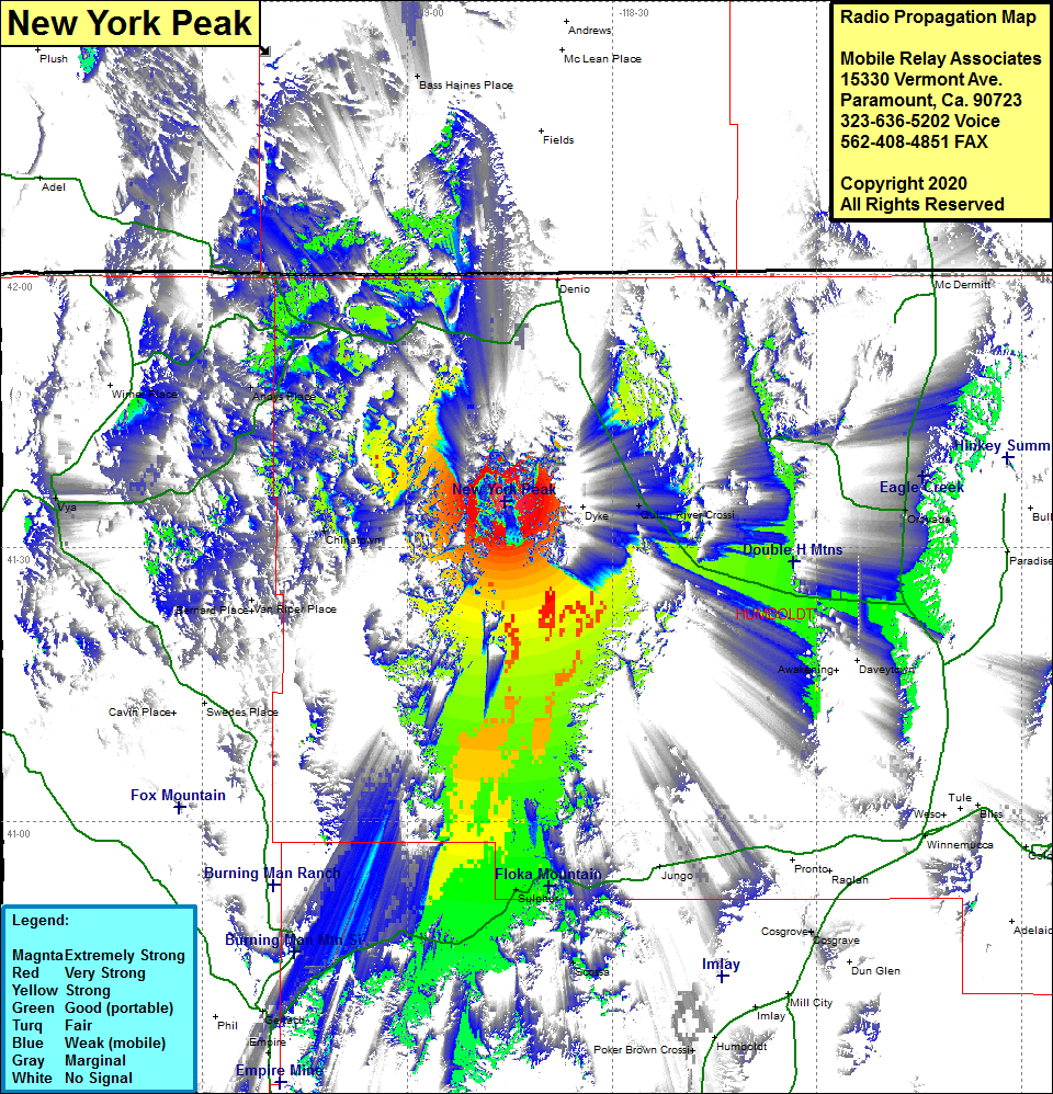
Site Coverage: Coverage of the northwestern portion of Humboldt County, Chinatown, Andys Place, Gerlach, Trego, Sulphur, Scossa, Poker Brown Crossing, Nevada Highway 140 from the intersection of US Highway 95 heading northwest until about 15 miles south of Denio, most potions of Nevada Highway 49 starting south of Gerlach until about 15 miles west of Winnemucca
