Raineer Mesa
| Site Name: | Raineer Mesa | 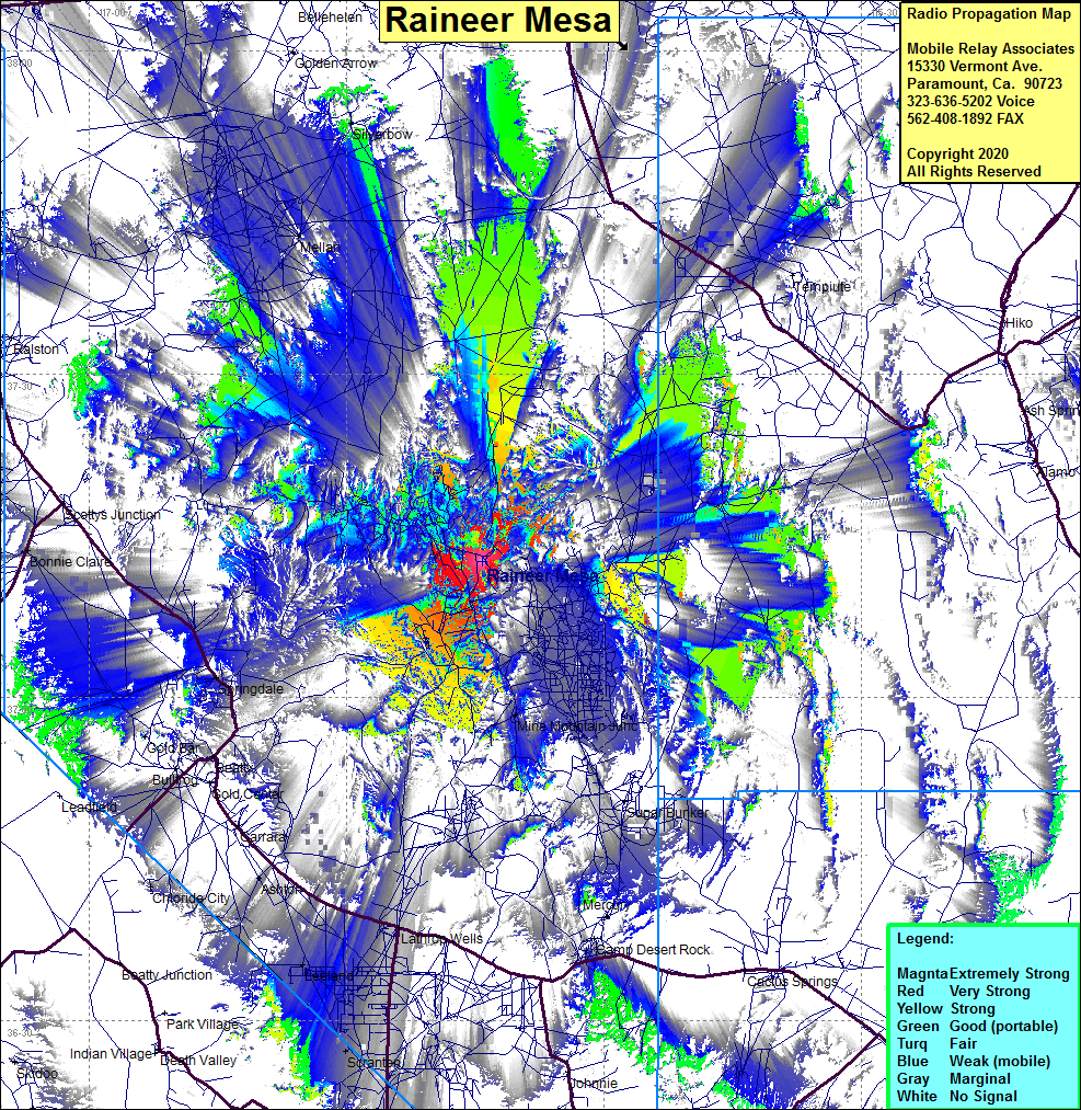 Raineer Mesa Coverage |
| Latitude: | 037 12 37.9N | 37.2105278 |
| Longitude: | 116 14 13.4W | -116.2370556 |
| Feet | Meters | |
| Ground Elevation: | 7683.7 | 2342.0 |
| HAAT: | 1512.7 | 461.1 |
| City: | Mercury | |
| County: | Nye | |
| State: | Nevada |
This is not an MRA Owned Site. For space rental contact the site owner.
Do you own or manage this site? Click Here
Would you like to add a site to the Google Earth Map?? Click Here
Site Coverage: Coverage of the Raineer Mesa area including portions of US95 from Camp Desert Rock in the south to Ralston in the north, Springdale, Beatty, Bonnie Claire, Silverbow, Mine Mountain Junction