Rob’s Peak
| Site Name: | Rob’s Peak | 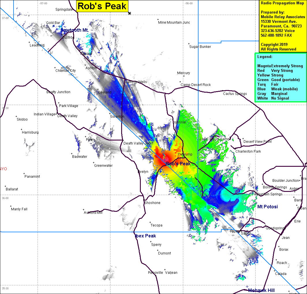 Rob’s Peak Coverage |
| Latitude: | 036 11 39.9N | 36.1944167 |
| Longitude: | 116 07 31.8W | -116.1255000 |
| Feet | Meters | |
| Ground Elevation: | 3026.9 | 922.6 |
| HAAT: | 175.2 | 53.4 |
| City: | Pahrump | |
| County: | Nye | |
| State: | Nevada |
This is not an MRA Owned Site. For space rental contact the site owner.
Do you own or manage this site? Click Here
Would you like to add a site to the Google Earth Map?? Click Here
Site Coverage: Coverage of Pahrump, part of Chicago Valley, southeast to Mountain Springs Pass, Lathrop Wells, Ashton, Carrara, Leeland