Trinity Peak
| Site Name: | Trinity Peak | 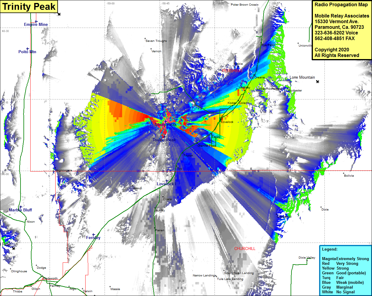 Trinity Peak Coverage |
| Latitude: | 040 10 20.1N | 40.1722500 |
| Longitude: | 118 43 22.4W | -118.7228889 |
| Feet | Meters | |
| Ground Elevation: | 5852.0 | 1783.7 |
| HAAT: | 1006.7 | 306.8 |
| City: | Toulon | |
| County: | Pershing | |
| State: | Nevada |
This is not an MRA Owned Site. For space rental contact the site owner.
Do you own or manage this site? Click Here
Would you like to add a site to the Google Earth Map?? Click Here
Site Coverage: Coverage of the southern portion of Pershing County and the northern portion of Churchill County, Toulon, Toy, Miriam, Ocala, Parran, South Swan Landing, Coppereid, Salt Water, Perth, Lovelock, Kodak, Oreana, Woolsey, Rochester, Rye Patch, Humboldt, Vernon, Nightingale