Wells
| Site Name: | Wells | 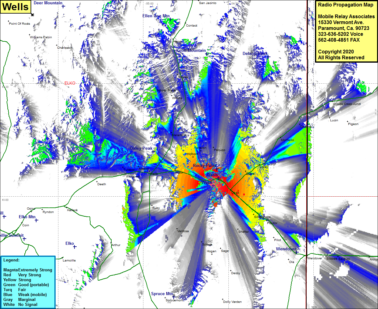 Wells Coverage |
| Latitude: | 041 02 48.5N | 41.0468056 |
| Longitude: | 114 35 26.5W | -114.5906944 |
| Feet | Meters | |
| Ground Elevation: | 7908.0 | 2410.4 |
| HAAT: | 1512.8 | 461.1 |
| City: | Oasis | |
| County: | Elko | |
| State: | Nevada |
This is not an MRA Owned Site. For space rental contact the site owner.
Do you own or manage this site? Click Here
Would you like to add a site to the Google Earth Map?? Click Here
Site Coverage: Coverage of the eastern portion of Elko County, Oasis, Silver Zone, Proctor, Silsbee, Salduro, Arinosa, Cobre, Loray, Montello, Tecoma, Lucin, Grouse Creek Jct, Shafter, Ventosa, Spruce, Ruby, Moor, Wells, Melandco, Schoer Palce, Shores, Tulasco, Alazon, Interstate 80 from about 14 miles west of Wells to Wendover, Nevada Highway 233 heading northeast from Oasis to the Nevada state line