Wilson
| Site Name: | Wilson | 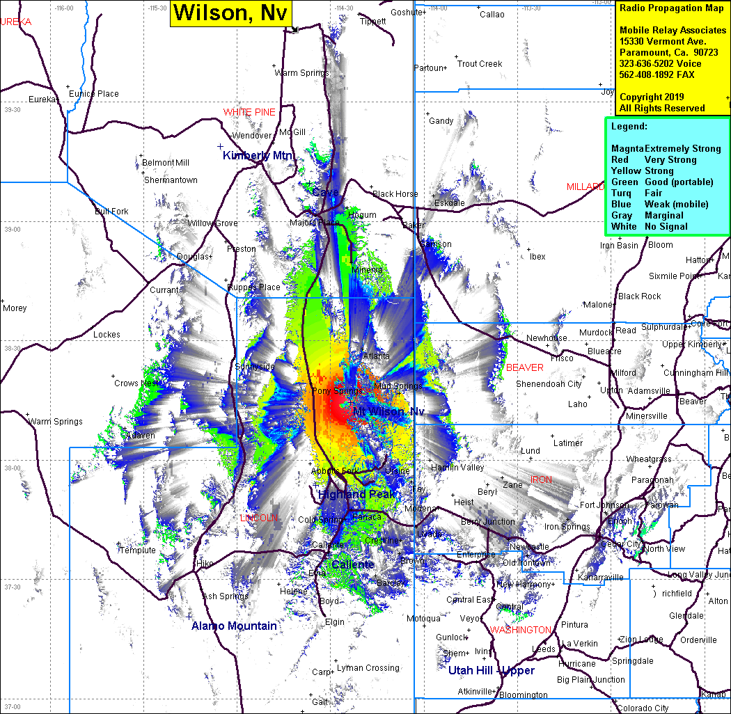 Wilson Coverage |
| Latitude: | 038 14 29.7N | 38.2415833 |
| Longitude: | 114 23 43.1W | -114.3953056 |
| Feet | Meters | |
| Ground Elevation: | 9294.6 | 2833.0 |
| HAAT: | 2445.2 | 745.3 |
| City: | Pioche | |
| County: | Lincoln | |
| State: | Nevada |
This is not an MRA Owned Site. For space rental contact the site owner.
Do you own or manage this site? Click Here
Would you like to add a site to the Google Earth Map?? Click Here
Site Coverage: Coverage of northeast Lincoln County, Abbott Fork, Pony Springs, Mud Springs, Ursine, Horsehoe Bend, Minerva