Datil
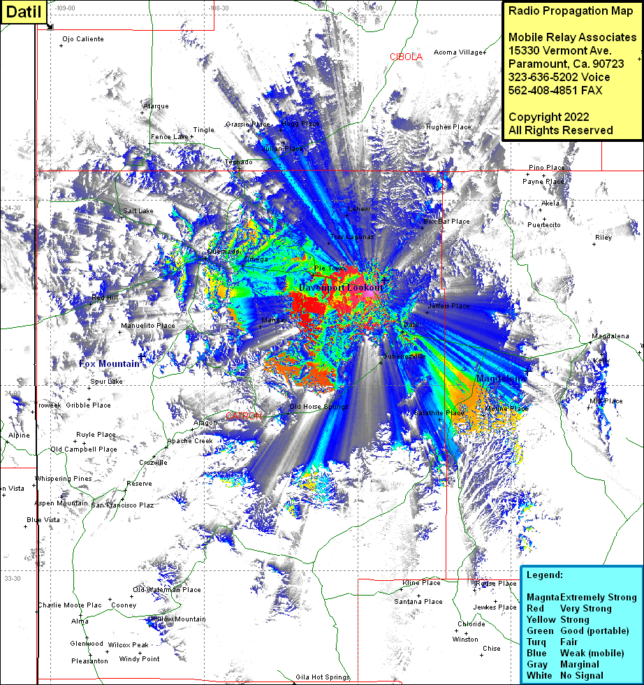
| Site Name: | Datil |  Datil Coverage |
| Latitude: | 034 15 01.4N | 34.2503889 |
| Longitude: | 107 57 16.2W | -107.9545000 |
| Feet | Meters | |
| Ground Elevation: | 8386.0 | 2556.1 |
| HAAT: | 413.9 | 126.2 |
| City: | Datil | |
| County: | Catron | |
| State: | New Mexico |
This is not an MRA Owned Site. For space rental contact the site owner.
Do you own or manage this site? Click Here
Would you like to add a site to the Google Earth Map?? Click Here
Site Coverage: Coverage of McCord Place, Box Bar Place, Hughes Place, Datil, Jeffers Place, Gutierrezville, Morine Place, Satahite Place, Mangas, Old Horse Springs, Red Hill, Pie Town, Tres Lagunas, Lehew, Omega, Quemado, Techado, Julian Place, Hogg Place, Tingle, Fence Lake
