Fox Mountain II
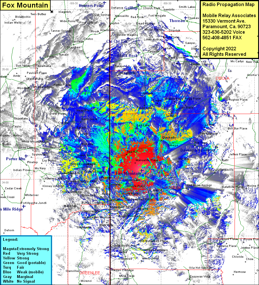
| Site Name: | Fox Mountain II |  Fox Mountain II Coverage |
| Latitude: | 034 04 40.4N | 34.0778889 |
| Longitude: | 108 42 18.4W | -108.7051111 |
| Feet | Meters | |
| Ground Elevation: | 9392.0 | 2862.7 |
| HAAT: | 1680.6 | 512.2 |
| City: | Quemado | |
| County: | Catron | |
| State: | New Mexico |
This is not an MRA Owned Site. For space rental contact the site owner.
Do you own or manage this site? Click Here
Would you like to add a site to the Google Earth Map?? Click Here
Site Coverage: Coverage of Mangas, Quemado, Omega, Pie Town, Tres Lagunas, Lehew, Techado, Tingle, Fence Lake, El Morro, Tinaja, Sand Corner, Ramah, Pesado, Hughes Place, McCord Place, Cruzville, Apache Creek, Aragon, Old Horse Springs, Morine Place, Windy Point, Willow Mountain, Spur Lake, Gribble Place, Troweek, Luna, Old Campbell Place, Ruyle Place, Potato Patch, Lower San Francisco, Reserve, San Francisco, Aspen Mountain, Whispering Pines, Blue Vista, Carlton Vista, Hannagan Meadow, Cleveland, Sprucedale, Three Forks, Boneyard, Crosby Crossing, Alpine, Nutrioso, Rosebud, Feaster, Troweek, Sheep Crossing, Greer, Northwoods, Manuelito Place, Davies Place, Red Hill, Eagar, Green Spot, Richville, El Tule, Salado, Saint Johns, Heap Place, Concho, Greer Place, Hunt, Vernon, White Mountain Lake, Silver Creek, Ojo Caliente, Tekapo, Navajo, Goodwater
