Gibson Peak
| Site Name: | Gibson Peak |  Gibson Peak Coverage |
| Latitude: | 035 36 22.8N | 35.6063333 |
| Longitude: | 108 41 27.7W | -108.6910278 |
| Feet | Meters | |
| Ground Elevation: | 7847.0 | 2391.8 |
| HAAT: | 1188.6 | 362.3 |
| City: | Gallup | |
| County: | McKinley | |
| State: | New Mexico |
This is not an MRA Owned Site. For space rental contact the site owner.
Do you own or manage this site? Click Here
Would you like to add a site to the Google Earth Map?? Click Here
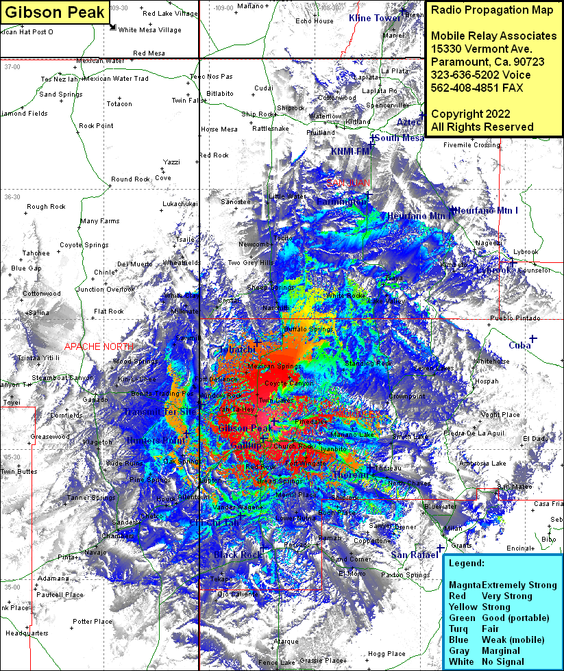
Site Coverage: Coverage of Coyote Canyon, Standing Rock, Crownpoint, Voght Place, Hospah, Whitehorse, Seven Lakes, Nageezi, Kimbeto, Tsaya, White Rock, Lake Valley, Bufflo Springs, Naschitti, Sheep Springs, Tocito, Kirtland, Shiprock, Church Rock, McCune, Iyanbito, Perea, Fort Wingate, North Guam, Mariano Lake, Pinedale, Smith Lake, South Guam, Coolidge, Continal Divide, Thoreau, North Chaves, South Chaves, Prewitt, Bluewater, Toltec, Milan, Paxton Springs, Aragon, Copperton, Diener, Sawyer, Sand Comer, Tinaja, El Morro, Ramah, Pesado, Lower Nutria, Upper Nutria, Navarre Place, Sanchez Place, Boon Place, Shiprock, Basgal Place, McGaffey, Pinehaven, Bread Springs, Fence Lake, Tingle, Techado, Gamerco, Allison, Twin Buttes, Mentmore, Defiance, Manuelito, Lupton, Allentown, Houck, Chelco, Sanders, Chambers, Navajo, Wide Ruins, Klagetoh, Pine Springs, Oak Springs, Hunters Point, Sunrise Trading Post, Chi-Chi-Tah, Red Rock, Vander Wagen, Black Rock, Zuni, Tekapo, Ojo Caliente, Paucell Place, Yah-Ta-Hey, Twin Lakes, Mexican Springs, Tohatchi, Sheep Springs, Newcomb, Two Grey Hills, Little Water, Wheatfields, White Clay, Milkwater, Sawmill, Fort Defiance, Bonita Trading Post, Saint Michaels, Kin-Li-Chee, Woodsprings, Ganado, Salina, Tsintaa Yiti Li, Toyei
