Milnesand
| Site Name: | Milnesand |  Milnesand Coverage |
| Latitude: | 033 39 08.0N | 33.6522222 |
| Longitude: | 103 20 18.3W | -103.3384167 |
| Feet | Meters | |
| Ground Elevation: | 4198.0 | 1279.6 |
| HAAT: | 152.4 | 46.5 |
| City: | Milnesand | |
| County: | Roosevelt | |
| State: | New Mexico |
This is not an MRA Owned Site. For space rental contact the site owner.
Do you own or manage this site? Click Here
Would you like to add a site to the Google Earth Map?? Click Here
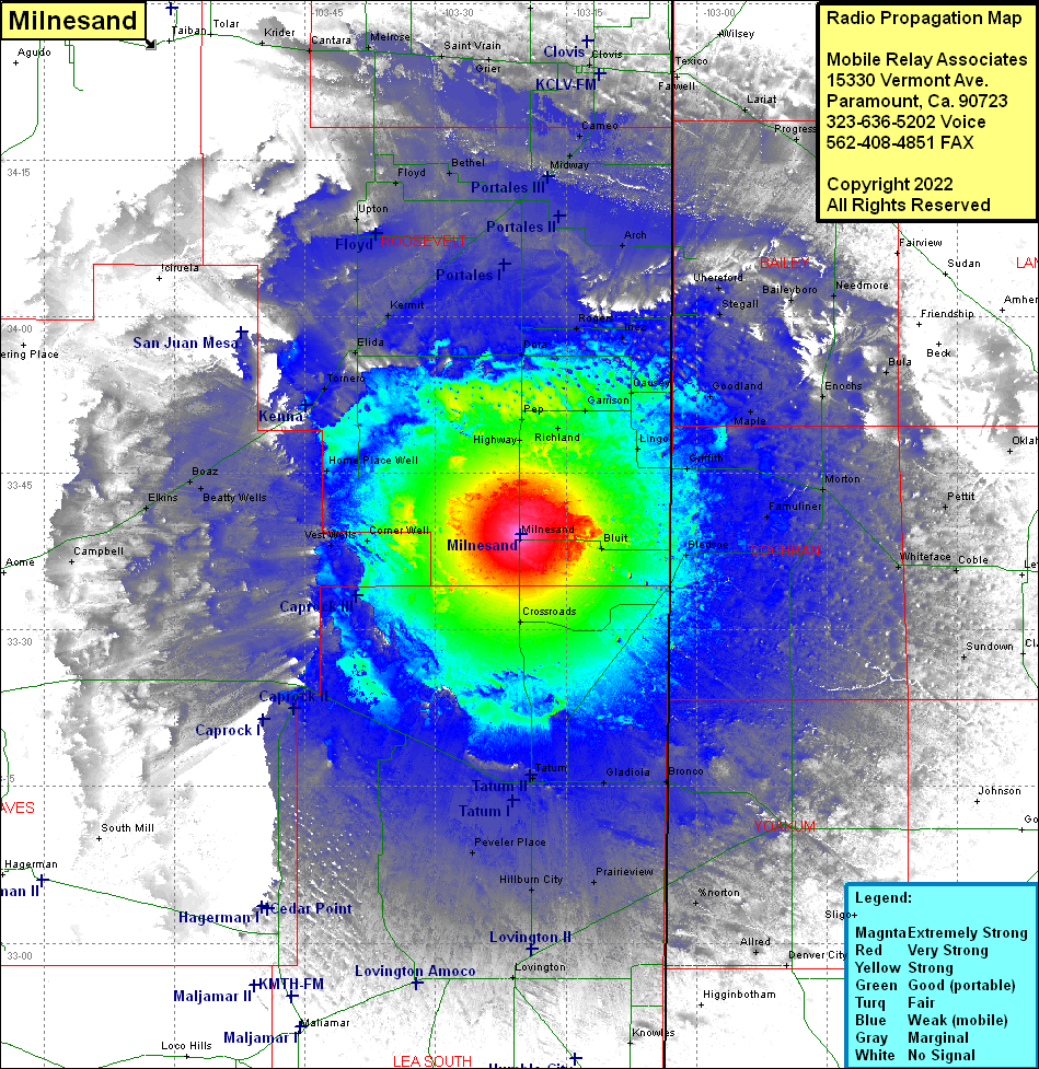
Site Coverage: Coverage of Milnesand, Highway, Richland, Pep, Garrison, Lingo, Causey, Inez, Rogers, Dora, Griffith, Famuliner, Morton, Enochs, Maple, Goodland, Needmore, Baileyboro, Stegall, Uhereford, Inez, Rogers, Arch, Portales, Bula, Pettit, Muleshoe, Pleasant Valley, Clays Corner, Progress, Lariat, Farwell, Texico, Clovis, Gallaher, Portair, Cameo, Midway, Oklahoma Flat, Crossroads, Bluit, Bledsoe, Whiteface, Coble, Loveland, Clavene, Sundown, Plains, Bronco, Gladiola, Tatus, McDonald, Hillburn City, Prairieview, Norton, Allred, Denver City, Sligo, Knowles, Lovington, Peveler Place, Caprock, South Mill, Hagerman, Vest Wells, Corner Well, Crossroads, Campbell, Elkins, Boaz, Beatty Wells, Robertson Wells, Lone Wolf, Home Place Well, Kenna, Tomero, Elida, Olive, Ciruela, Kenna, Tomero, Clida, Kermit, Delphos, Upton, Floyd, Bethel, Yerba, Portales, Dora, Pep, Highway
