Steins
| Site Name: | Steins |  Steins Coverage |
| Latitude: | 032 12 51.7N | 32.2143611 |
| Longitude: | 108 59 19.5W | -108.9887500 |
| Feet | Meters | |
| Ground Elevation: | 4657.0 | 1419.5 |
| HAAT: | 605.3 | 184.5 |
| City: | Lordsburg | |
| County: | Hidalgo | |
| State: | New Mexico |
This is not an MRA Owned Site. For space rental contact the site owner.
Do you own or manage this site? Click Here
Would you like to add a site to the Google Earth Map?? Click Here
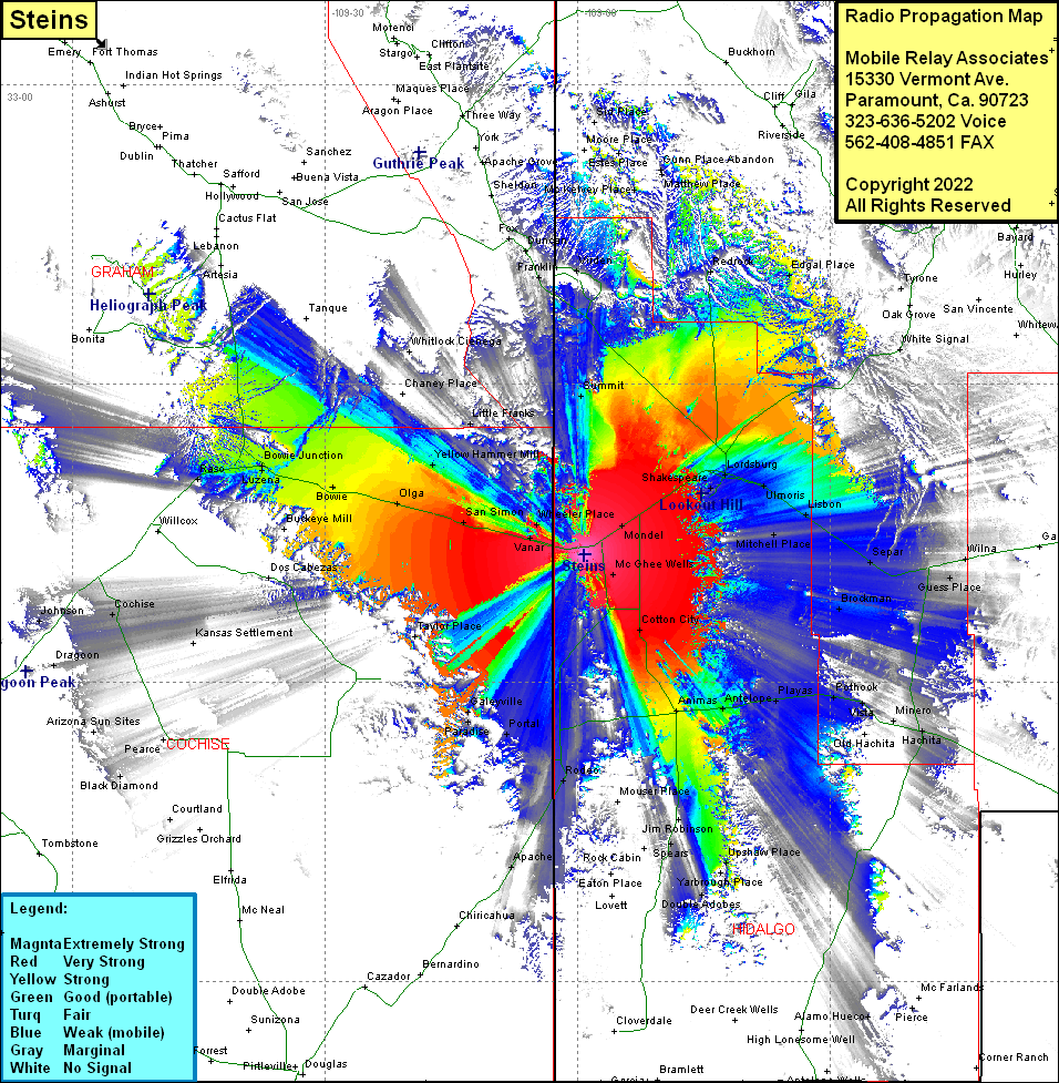
Site Coverage: Coverage of Mondel, Lordsburg, Shakespeare, Ulmoris, Lisbon, Mitchell Place, Separ, Wilna, Summit, Redrock, Edgal Place, White Signal, Oak Grove, Tyrone, San Vicente, Faywood Hot Spring, McKelvey Place, Virden, McGhee Wells, Cotton City, Animas, Antelope, Playas, Pothook, Vista, Minero, Hachita, Guess Place, Separ, Wilna, Blockman, Gibson Place, Spears, Eakins, Middle Wells, Joe Yarbrough, Double Acres, Upshaw Place, Alamo Hueco, Minero, Vista, Taylor Place, Galeyville, Paradise, Portal, Rodeo, Apache, Kansas Settlement, Black Diamond, Manzoro, Cochise, Steins, Vanar, Wheeler Place, San Simon, Olga, Bowie, Buckeye Mill, Luzena, Bowie Junction, Yellow Hammer Mill, Little Franks, Whittlock Cienega, Turkey Flat, Franklin, Duncan, Fox
