Big Hill Lkt
| Site Name: | Big Hill Lkt |  Big Hill Lkt Coverage |
| Latitude: | 038 50 32.7N | 38.8424167 |
| Longitude: | 120 24 26.7W | -120.4074167 |
| Feet | Meters | |
| Ground Elevation: | 6161.0 | 1877.9 |
| HAAT: | 1102.1 | 335.9 |
| City: | Pollock Pines | |
| County: | Eldorado | |
| State: | California |
This is not an MRA Owned Site. For space rental contact the site owner.
Do you own or manage this site? Click Here
Would you like to add a site to the Google Earth Map?? Click Here
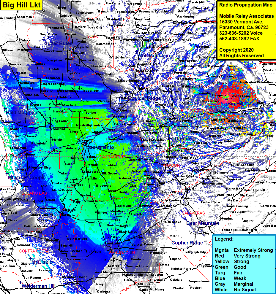
Site Coverage: Coverage of the mountainous area of El Dorado County, Raffetto, Jones Place, McConnell Place, McManus, Spring Valley, White Hall, Lower Forni, Sciots Camp, Upper Forni, Phillips, Campana, Leonardi, Claussenius, Pino Grande, Fairbanks, Soapweed, Deer View, Quintette, Balderson Station, Buckeye, Buffalo Hill, Bryants, Griminger, Darlington, Morrison, Happy Valley, Old Fort Jim, Grizzly Flat, Omo Ranch, Aukum, Coyoteville, Outingdale, portions of the San Joaquin Valley from Stockton in the south to Sutter Buttes in the north.
