Double Dome
| Site Name: | Double Dome | 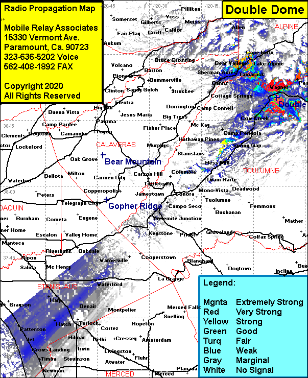 Double Dome Coverage |
| Latitude: | 038 20 11.4N | 38.3365000 |
| Longitude: | 119 53 18.7W | -119.8885278 |
| Feet | Meters | |
| Ground Elevation: | 7519.0 | 2291.8 |
| HAAT: | 401.2 | 122.3 |
| City: | Dardanelle | |
| County: | Toulomne | |
| State: | California |
This is not an MRA Owned Site. For space rental contact the site owner.
Do you own or manage this site? Click Here
Would you like to add a site to the Google Earth Map?? Click Here
Site Coverage: Coverage of Wagnar, Dardanelle, Peaceful Pines, Cold Springs, Bumblebee, Cow Creek, Strawberry, Camp Pendola, Spring Gap, California Highway 108 from Sugarpine to Dardanelle, Sherman Acres, Bear Valley, Lake Alpine, Cape Horn, Tamarack, Skyhigh, Big Meadow, Ganns, Cottage Springs, Cape Horn