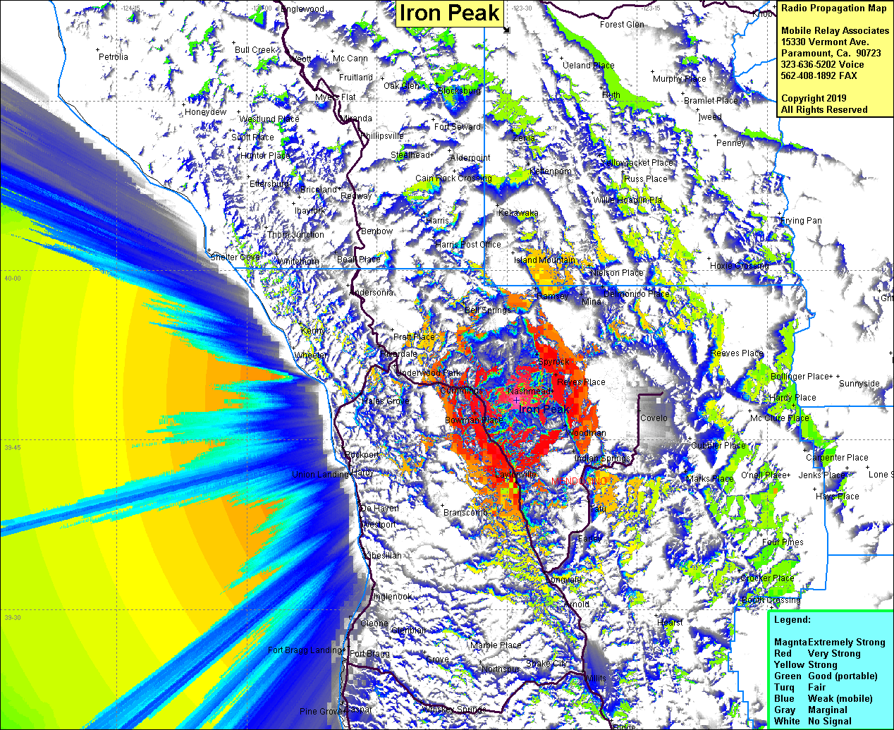
Iron Peak
| Site Name: | Iron Peak |  Iron Peak Coverage |
| Latitude: | 039 48 30.4N | 39.8084444 |
| Longitude: | 123 28 53.4W | -123.4815000 |
| Feet | Meters | |
| Ground Elevation: | 4503.9 | 1372.8 |
| HAAT: | 2284.3 | 696.3 |
| City: | Laytonville | |
| County: | Mendocino | |
| State: | California |
This is not an MRA Owned Site. For space rental contact the site owner.
Do you own or manage this site? Click Here
Would you like to add a site to the Google Earth Map?? Click Here
Site Coverage: Coverage of Daytonville, Bowman Place, Tan Oak Park, South Leggett, Riverdale, Nashmead, Dunlap Place, Spyrock, Ralph Leggett Place, Health Place, Woodman, Indian Springs, Tatu, Farley, Longvale, Arnold, Nielson Place, Delmonico Place, Ramsey, Covelo, Marks Place, Crocker Place
