Jordan Peak
| Site Name: | Jordan Peak | 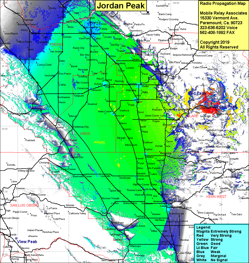 Jordan Peak Coverage |
| Latitude: | 036 10 53.0N | 36.1813889 |
| Longitude: | 118 35 53.9W | -118.5983056 |
| Feet | Meters | |
| Ground Elevation: | 9,097.8 | 2,773.0 |
| HAAT: | 2,613.1 | 796.5 |
| City: | Springville | |
| County: | Tulare | |
| State: | California |
This is not an MRA Owned Site. For space rental contact the site owner.
Do you own or manage this site? Click Here
Would you like to add a site to the Google Earth Map?? Click Here
Site Coverage: Coverage of the San Joaquin Valley, south to Grapevine, north to Madera, Springville, Camp Nelson, Quaker Meadow, Redwood Corral, Milo