Sheepy Ridge
| Site Name: | Sheepy Ridge | 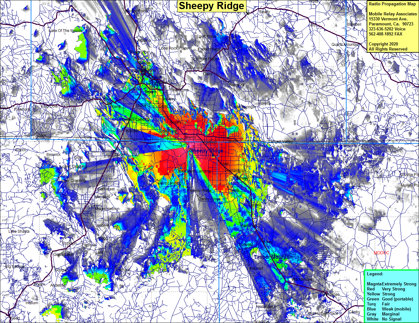 Sheepy Ridge Coverage |
| Latitude: | 041 58 59.9N | 41.9833056 |
| Longitude: | 121 34 59.9W | -121.5833056 |
| Feet | Meters | |
| Ground Elevation: | 4468.5 | 1362.0 |
| HAAT: | 291.4 | 88.8 |
| City: | Tulelake | |
| County: | Siskiyou | |
| State: | California |
This is not an MRA Owned Site. For space rental contact the site owner.
Do you own or manage this site? Click Here
Would you like to add a site to the Google Earth Map?? Click Here
Site Coverage: Coverage of Merrill, Hosley, Healey, Hatfield, Langell Valley, Malin Kalina, Keno, Texum, Klamath Falls, Pelican City, Wocus, Altamont, Hager, Henley, Stukel, Midland, Mammoth, Homestead, Newell, Capic, Correll, Kandra, Canby Cross, Tulelake, Auger, Dalton, Teters Landing, Worden, Chalk Bank Landing, Auber, Tulelake, Lost River, Malorie, Gem, Yonna, Hildebrand