Shoshone
| Site Name: | Shoshone | 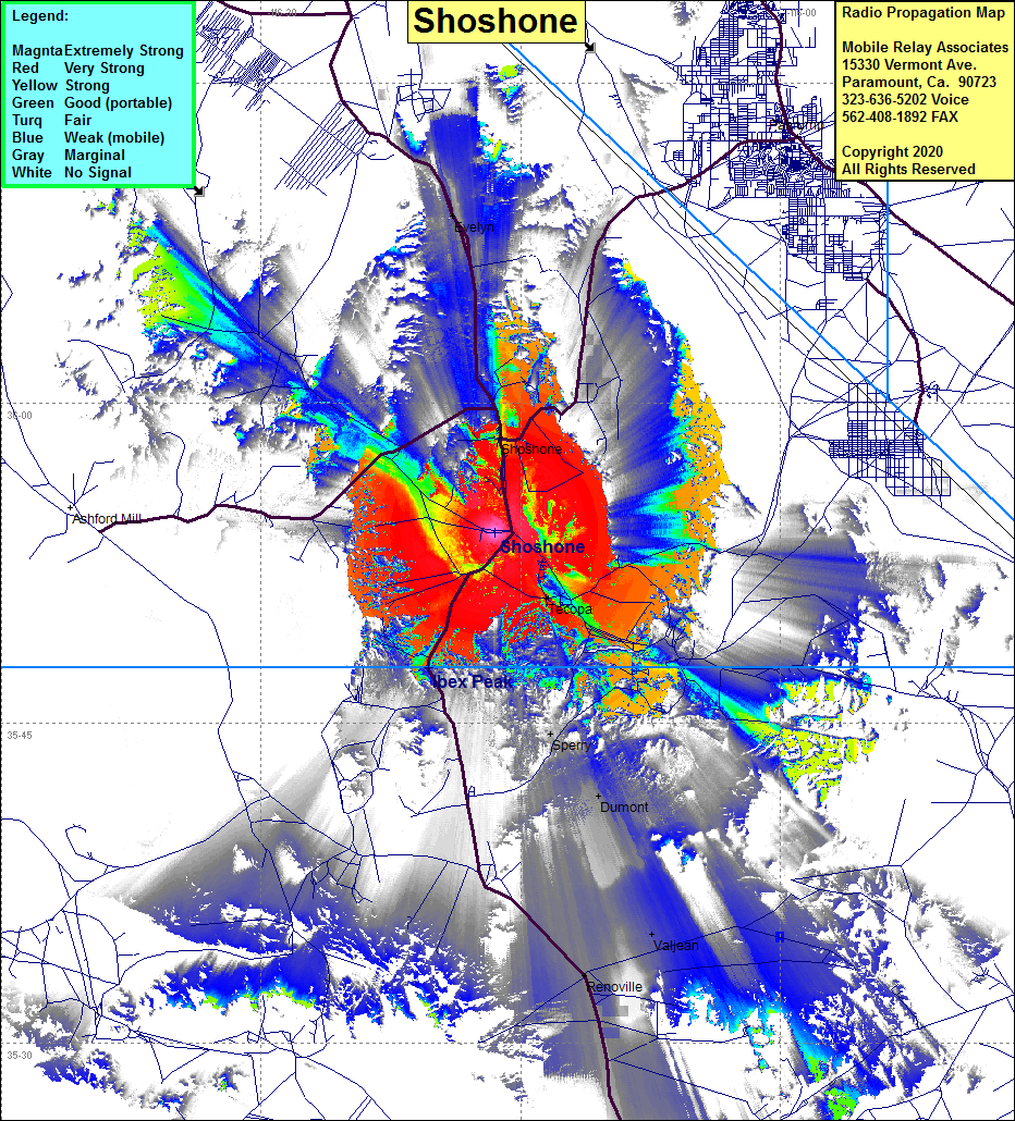 |
| Latitude: | 035 53 58.2N | 35.8995000 |
| Longitude: | 116 16 30.8W | -116.2752222 |
| Feet | Meters | |
| Ground Elevation: | 1492.8 | 455.0 |
| HAAT: | -388.3 | -118.3 |
| City: | Shoshone | |
| County: | Inyo | |
| State: | California |
This is not an MRA Owned Site. For space rental contact the site owner.
Do you own or manage this site? Click Here
Would you like to add a site to the Google Earth Map?? Click Here
Site Coverage: Coverage of Shoshone, Sperry, Tecopa, Dumont, Valjean, Renoville, Evelyn, Highway 127 from Renoville north past Shoshone, Highway 178 from Shoshone north past Evelyn towards Death Valley Junction