Sugar
| Site Name: | Sugar | 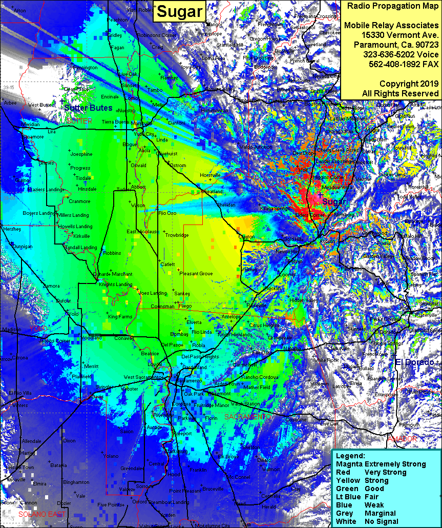 Sugar Coverage |
| Latitude: | 038 59 38.5N | 38.9940278 |
| Longitude: | 121 04 12.7W | -121.0701944 |
| Feet | Meters | |
| Ground Elevation: | 2,005.2 | 611.2 |
| HAAT: | 599.0 | 182.6 |
| City: | Auburn | |
| County: | Placer | |
| State: | California |
This is not an MRA Owned Site. For space rental contact the site owner.
Do you own or manage this site? Click Here
Would you like to add a site to the Google Earth Map?? Click Here
Site Coverage: Coverage of the San Joaquin Valley south to Lodi, north to Dayton, Weimar, Higgins Corner, La Barr Meadows, Auburn, Newcastle, Loomis, Wolf