Sunol Ridge
| Site Name: | Sunol Ridge | 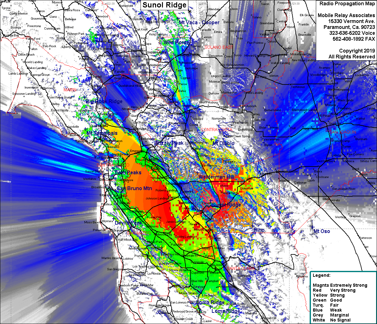 Sunol Ridge Coverage |
| Latitude: | 037 37 11.8N | 37.6199444 |
| Longitude: | 121 55 20.8W | -121.9224444 |
| Feet | Meters | |
| Ground Elevation: | 2,168.6 | 661.0 |
| HAAT: | 1,675.0 | 510.6 |
| City: | Sunol | |
| County: | Alameda | |
| State: | California |
This is not an MRA Owned Site. For space rental contact the site owner.
Do you own or manage this site? Click Here
Would you like to add a site to the Google Earth Map?? Click Here
Site Coverage: Coverage of the San Francisco Bay Area, south to Robertsville, north to Agua Caliente, San Francisco, San Ramon, Walnut Creek, Concord, Pierce, Dublin, Livermore, Scotts Corner