Weston Mtn
| Site Name: | Weston Mtn |  Weston Mtn Coverage |
| Latitude: | 045 48 01.7N | 45.8004722 |
| Longitude: | 118 22 32.2W | -118.3756111 |
| Feet | Meters | |
| Ground Elevation: | 2994.0 | 912.6 |
| HAAT: | 666.5 | 203.2 |
| City: | Weston | |
| County: | Umatilla | |
| State: | Oregon |
This is not an MRA Owned Site. For space rental contact the site owner.
Do you own or manage this site? Click Here
Would you like to add a site to the Google Earth Map?? Click Here
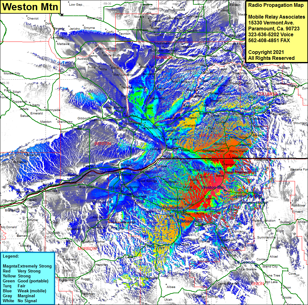
Site Coverage: Coverage of Bade, Blue Mountain, Fulton, Ferndale, Sunnyside, Kibler, Buroker, Dixie, Minnick, Coppel, Waitsburg, Prescott, Climax, Lamar, Eureka, Hatch, Welland, Humorist, Ash, Levy, Redd, Snake River, Lee, Elwood, Clyde, Pickard, Walker, Burr, Scott, Chew, Davin, Five Corners, Eltopia, Sagemoor, Glade, Pasco, Kennewild, FInley, West Highlands, Richland, Ruby, Geneva Jct, May Jct, Edna, WIlla, Susie, White Bluffs, Wahluke, Nancy, Audrey, Benton City, Umatilla, Hermiston, Stanfield, Nolin, Rieth, Fulton, Homly, Gibbon, Duncan, Huron, Ross, Meacham, McKay, Pilot Rock, Nye, Winson, Sand Hollow, Alpine, Strawberry, Ella, Cecil, Morgan, Cecil, Paterson Junction, Paterson, Umatilla, Hermiston, Stanfield, Heppner Junction, Moona
